
.svg)

.svg)

Reality Capture
A 3D Laser Scanning company For the Architecture, Engineering, and Construction Industries


///Start Accurate, Stay accurate
///Our Services
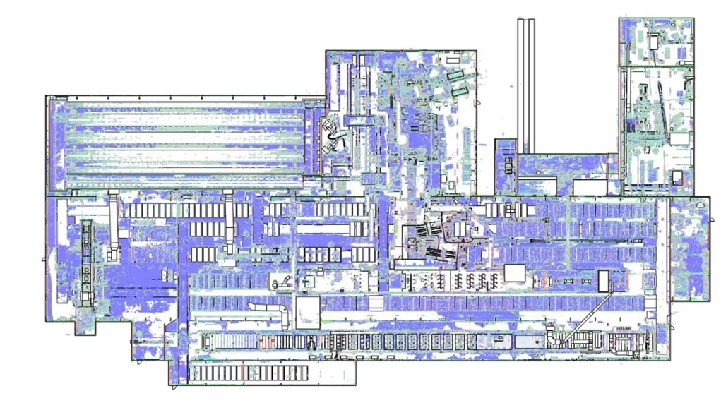
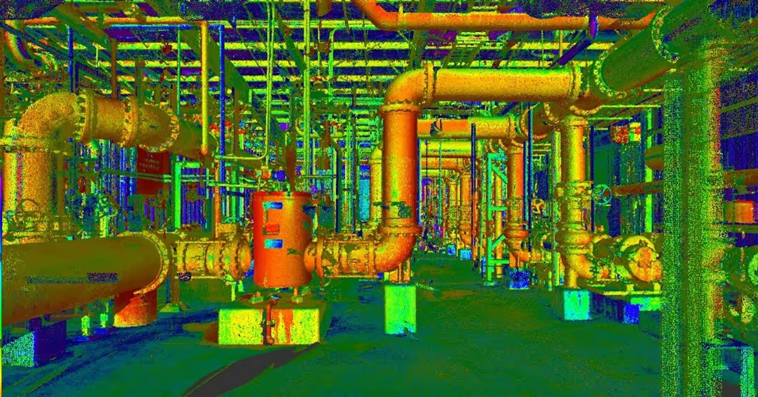
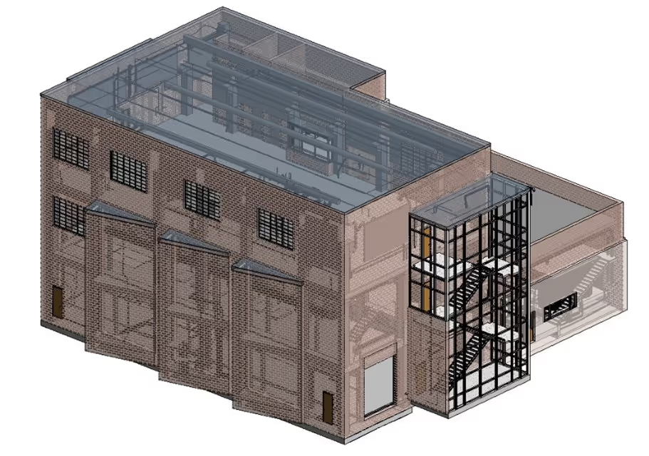
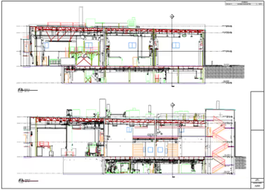
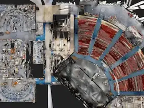
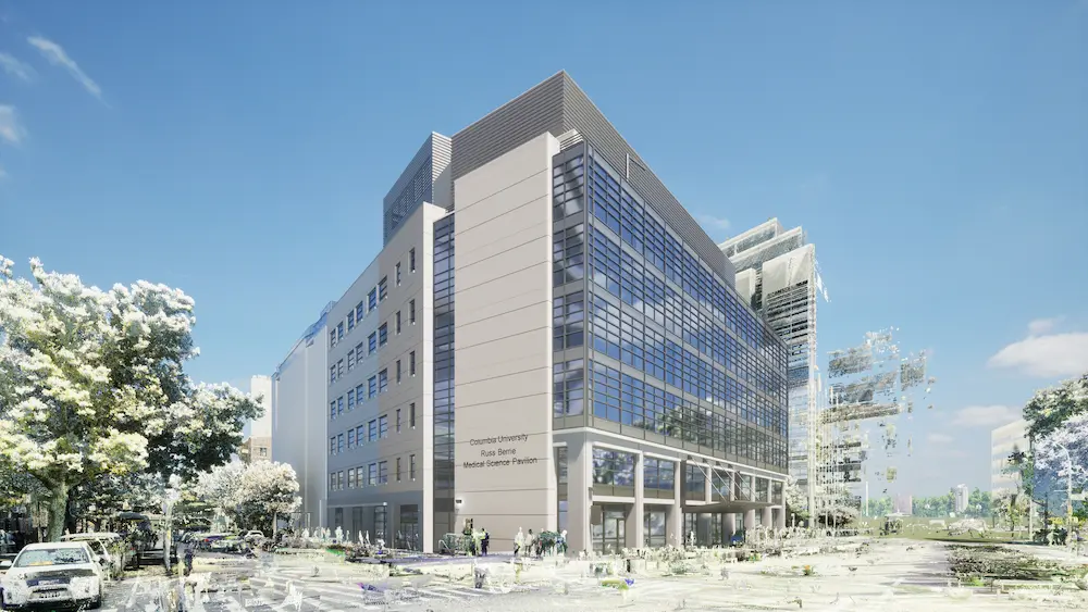
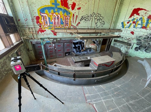
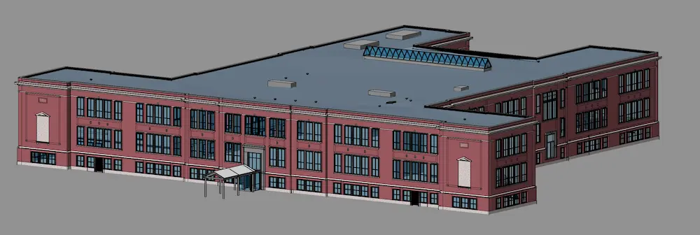
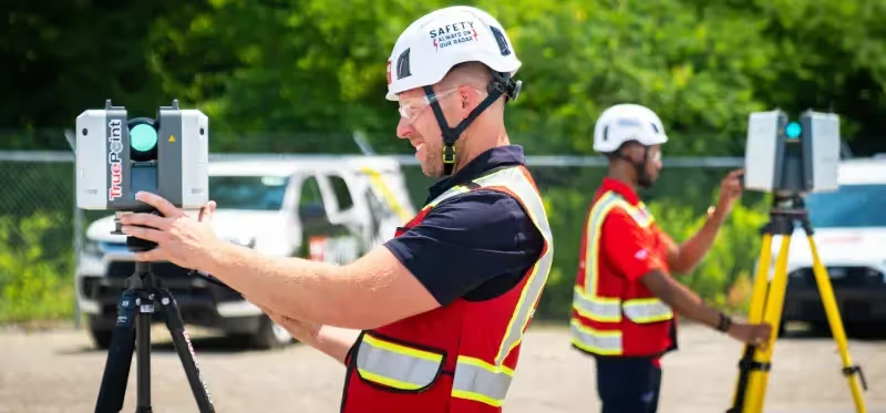
GPRS 3D Laser Scanning Services provides clients with precise as-built documentation of buildings and infrastructure using advanced Leica laser scanners, delivering point clouds, 2D CAD drawings, and 3D BIM models to streamline project planning and construction.
.webp)


.webp)
.webp)
.webp)

.webp)
.webp)
.svg)


///OUr 3D Laser Scanning Company


.svg)
.svg)
.svg)
.svg)
.svg)
case Studies




///FREQUENTLY ASKED QUESTIONs
Reality capture is the process of digitally documenting physical environments using technologies like 3D laser scanning and photogrammetry. It produces accurate spatial data that can be used to create models, maps, and visualizations for design, construction, and asset management.
GPRS uses LiDAR-based 3D laser scanning and photogrammetry to collect millions of data points on any site to document its existing conditions. The data is processed into point clouds and can be converted into 2D CAD drawings or 3D BIM models, enabling precise planning and coordination across disciplines.
No. Reality capture is the process of collecting spatial data from the physical world. A digital twin is a dynamic, data-rich virtual replica of a physical asset that integrates real-time data and analytics. Reality capture provides the foundational geometry for a digital twin, and GPRS can provide both, tailored to your needs.
A Building Information Model (BIM) is a digital representation of a facility’s physical and functional characteristics. A 3D BIM model includes geometry, spatial relationships, and embedded data, supporting design, construction, and lifecycle management through enhanced collaboration and visualization.
GPRS delivers construction-grade accuracy using high-resolution LiDAR scanners and survey-grade controls and registration. Accuracy depends on site conditions and equipment, but typically achieves tolerances within 2 to 6 millimeters, suitable for clash detection, prefabrication, and as-built documentation.
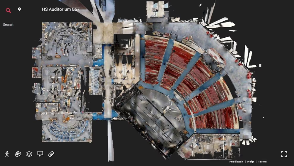
3D photogrammetry is a technique that uses overlapping photographs taken from multiple angles to reconstruct three-dimensional models. It relies on computer vision algorithms to triangulate spatial coordinates (also known as orthomosaic imaging and registration), to produce textured 3D meshes, walkthrough tours or point clouds for visualization and measurement. GPRS can integrate subsurface feature markings via photogrammetry and integrate them into a full above and below-ground CAD drawing or BIM model, as required.