

.svg)
About GPRS 3D Laser Scanning Services
GPRS Laser Scanning provides the highest quality 3D laser scanning services to help clients Intelligently Visualize The Built World®.
Time is money. Traditional, hand-measured as-built drawings waste both because they are often outdated and inaccurate, which can cause mistakes at every level of a project, from planning to design to execution.
When you choose to create accurate and complete as-builts with GPRS 3D laser scanning services, you can avoid unnecessary downtime and expensive cost overruns because we make the unseen, seen, measurable, and usable by providing a true digital twin that exposes previously unknown conditions and is accurate within millimeters.
We have built a team of Project Managers that can quickly mobilize and service any site in the United States. Our Project Managers undergo an extensive training program to ensure their competence in terms of equipment, field knowledge, and providing the best possible results for every project.
"Contracting GPRS to do a 3D laser scan has been one of the best project decisions we made. With their help we were able to reduce cost, increase productivity, and deliver the project on time."
Vincent M. - Superintendent
We primarily use Leica industry-leading survey-grade laser scanners to capture comprehensive point cloud data. They allow us to provide data that is complete, clean, accurate and well filtered with low range noise. Point clouds provide powerful and dynamic information for a project. By representing spatial data as a collection of coordinates, point clouds deliver large datasets that can be mined for information. The visualization and analysis from this data is invaluable for decision making.
Our in-house team of CAD technicians transform point clouds into customized drawings maps and models, such as 2D CAD drawings and 3D BIM models at any level of detail for visualization, analysis, design, construction, renovation, prefabrication and facility modifications.
Our project team works together to deliver your project requirements on time and on budget.
GPRS has provided 3D laser scanning, CAD and BIM modeling services for some of the best-known companies in the United States. Whether you’re actively embracing 3D laser scanning or on the fence about the technology, GPRS can help you reach your goals. If you are new to the laser scanning process, we offer comfort and assurance by walking you through the entire process: from pre-planning to final maps and models.
Mission
GPRS is dedicated to helping you Intelligently Visualize The Built World® by delivering the highest quality 3D laser scanning services, using state-of-the-art equipment, technology, and processes. From conception to completion, we will provide exceptional service and work closely with you to achieve practical 3D laser scanning solutions for your project.
Vision
GPRS is the industry-leading 3D laser scanning service in the United States. Our professionals stay at the forefront of new technologies, we are client-dedicated, and uphold the highest professional standards in the practice of laser scanning, design, and BIM/CAD technology for the engineering, construction, and architecture industries.
Company Highlights
- GPRS is an Ohio-licensed firm with expertise in structural, civil, construction, architecture, and chemical engineering industry needs.
- We offer nationwide service and can mobilize to any site quickly.
- Our consultative approach ensures you get the information you need to make informed decisions now and for future projects.
- Our team of in-house designers, architects, and CAD technicians all have "real world" experience in their respective disciplines and work with point clouds every day to create deliverables that are practical and useful.
- We build models to any level of detail.
- Projects are completed in-house.
- We perform thousands of successful projects every year and are happy to provide references.
- Visualizing The Built World® is our business. We are dedicated to providing timely and accurate solutions to our clients.


.avif)


3D Laser Scanning Services
As-Built Services
As-built services capture exact architectural, structural, and MEP system dimensions and layout of existing buildings, facilities, and sites, making them invaluable for design, construction, renovations, and modifications.
Point Clouds
3D laser scanners record highly accurate digital measurements of sites and assets in the form of a point cloud and can be used to create 2D CAD drawings and 3D BIM models that improve project workflows, shorten turnaround times, and reduce costs.
3D BIM Modeling
Intelligent 3D Building Information Models (BIM) provide contractors, engineers, architects, and facility managers an accurate digital representation of buildings and infrastructure to collaborate on design, construction, and operations.
3D Photogrammetry
3D rendered images can be used to create virtual tours, floorplans, topographic maps, point clouds, 3D models, and more for planning, analysis, and calculations.
2D CAD Drawings
GPRS can translate 3D laser scan data into 2D CAD drawings that provide your team with up-to-date floor plans, elevations, sections, details, isometric drawings, reflected ceiling plans, and more.
Clash Detection & Prefabrication
3D laser scanning captures as-built site conditions with 2-4 mm accuracy, helping to identify potential clashes, prefabricate components, and plan a flawless installation.
Design-Build
3D laser scanning provides accurate as-built site data to prevent expensive rework by identifying any mistakes early in the design through the construction phase.
Drone Imagery
GPRS offers rectified photogrammetry, aerial video and images, LiDAR scans, 2D orthomosaic images, CAD drawings, 3D models, and 3D fly throughs thanks our state-of-the-art drones operated by FAA Licensed pilots.
///INDUSTRIES We serve

Power Transmission & Distribution

Telecom

Renewable Energy

Oil & Gas

Power Generation

Facilities

One Call

Environmental Due Diligence

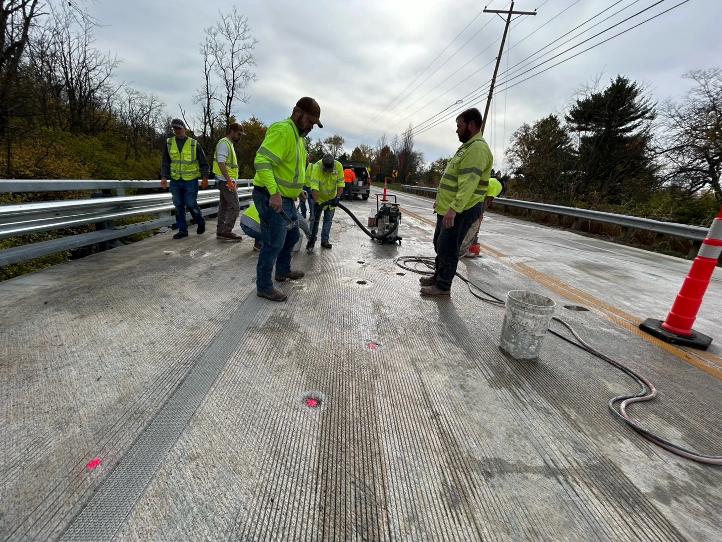
Civil, Road & Bridge

Design Builds & Remodels

Education

Retail & Restaurant Construction

Water & Sewer
Electric Vehicle Charging

Engineering & Surveying
Other
.webp)


Articles

Scan-to-BIM technology helps you take any project from inception to completion with accurate and easy to understand data integration to ensure smooth communication and avoid cost overruns and delays. What project can GPRS help you visualize?
Laser scanning is an unmatched facility documentation and management tool with benefits that span the life of any facility. Our Project Managers, model designers, and CAD designers work together to help you Visualize The Built World® to help you reduce downtime and costs so that your projects come in on time and on budget.
USIBD is an organization dedicated to creating standards for building documentation. GPRS 3D Laser Scanning strongly believes in the importance of creating specifications and guidelines for the US construction industry. These established criteria drive quality excellence, improve efficiencies, establish expectations and build credibility. For these reasons, GPRS is proud to be a member of US Institute of Building Documentation.
GPRS 3D Laser Scanning is an unmatched facility documentation and management tool with benefits that span the life of any facility. Our Project Managers, model designers, and CAD designers work together to help you Intelligently Visualize The Built World™ to help you reduce downtime and costs so that your projects come in on time and on budget.