

.svg)

///Accurate As-Built Data
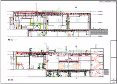
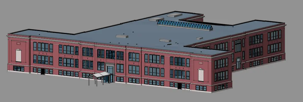
CAD Drawings & BIM Models
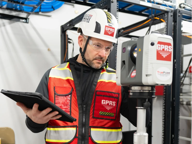
Our experienced GPRS Reality Capture team delivers 3D laser scanning services using advanced LiDAR technology and proven CAD/BIM workflows. By providing accurate as-built data and detailed design plans from the start, we help your team reduce rework, delays, and costs throughout every phase of design and construction. We are the largest dedicated Reality Capture Company in the United States.
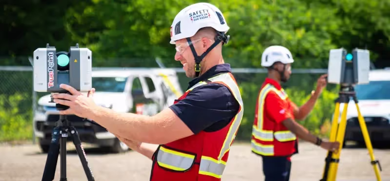
///3D laser scanning Services
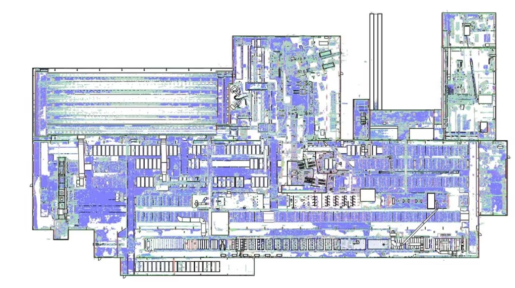
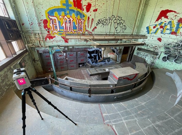
GPRS delivers accurate architectural, structural, and MEP data through point clouds, 2D CAD drawings, 3D BIM models, and more, all accessible in SiteMap®, our GIS platform, so you can quickly view precise building dimensions, locations, and layouts. Our team ensures an elite laser scanning experience, guiding you through every step from pre-planning to project completion.

.webp)


.webp)
.webp)
.webp)

.webp)
.webp)
///largest reality capture company
GPRS is trusted nationwide to deliver high-accuracy 3D laser scanning, CAD drawing, and BIM modeling services.
Years in Business
Team Members Nationwide
Projects Completed in 2025
Sq Ft Modeled in 2025

///our 3D laser scanning Company


///GPRS INDUSTRY EXPERTISE


///case Studies


TruePoint is A GPRS COMPANY

EXISTING CONDITIONS IS NOW A GPRS COMPANY
///FREQUENTLY ASKED QUESTIONs
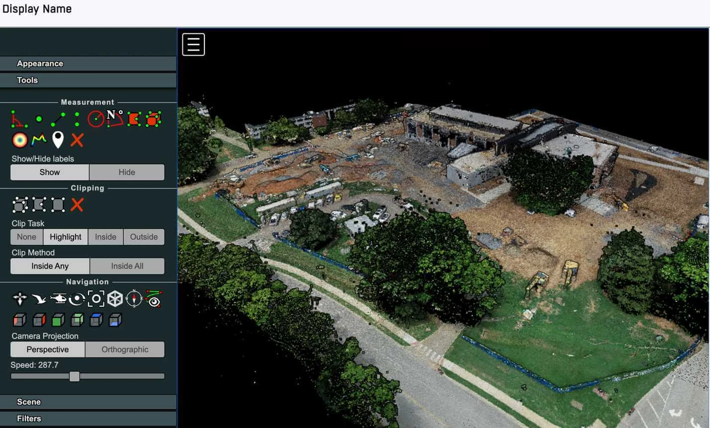
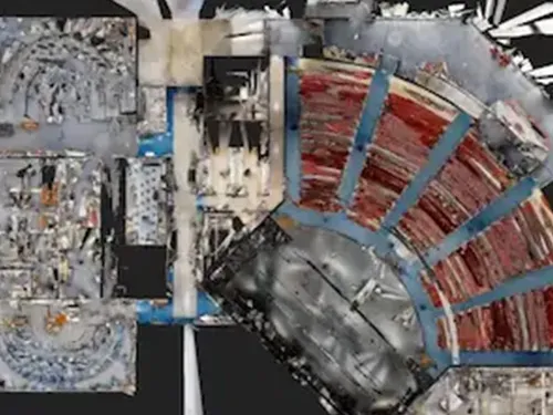
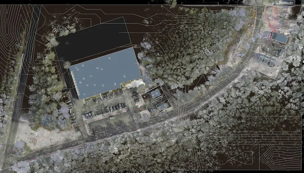
Reality capture is the process of digitally documenting a real-world site or facility so project teams can work from accurate existing conditions instead of assumptions. GPRS uses LiDAR-based 3D laser scanning and photogrammetry to capture millions of surface points and generate geometrically precise spatial data for design, construction, and asset management. We can deliver the data captured as point clouds, 2D CAD drawings, 3D BIM models, 3D meshes, and virtual walkthroughs through our Reality Capture Services.
See how GPRS used 3D laser scanning, CAD, and BIM modeling to support renovation of a mission-critical data center facility while helpingthe team maintain continuous operations.
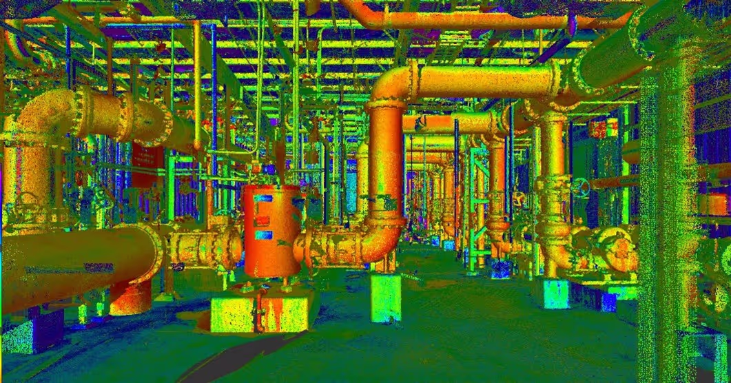
GPRS conducts reality capture with LiDAR-based 3D laser scanning and photogrammetry to collect millions of data points on any site to document its existing conditions. Our scanners can capture up to 2 million points per second, and we typically deliver construction-grade accuracy in the 2–4 mm range, depending on the site, equipment, and deliverable requirements. Our Mapping & Modeling Team then processes the point cloud into the format your team needs, such as 2D CAD drawings, or BIM models in Revit, Navisworks, or other platforms, and can deliver the data through Media Shuttle or SiteMap.
Learn how GPRS completed 150 scans in one day for a Power Plant and produced a 3D BIM model that the engineering team used for planning, fabrication, and clash detection.
Reality capture is the process of collecting spatial data from the physical world, whereas a digital twin is a dynamic, data-rich virtual replica of a physical asset that integrates real-time data and analytics. Reality capture provides the foundational geometry for a digital twin. GPRS can capture accurate site data and transform the point cloud into a BIM model, which serves as the building block to your digital twins.
Learn more about the difference between 3D BIM models and digital twins.
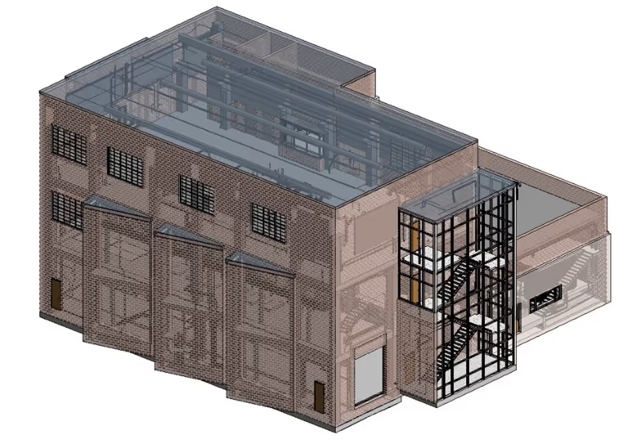
A Building Information Model (BIM) is a digital representation of a facility’s physical and functional characteristics. A 3D BIM model includes geometry, spatial relationships, and embedded data, supporting design, construction, and lifecycle management through enhanced collaboration and visualization. GPRS’ Mapping & Modeling Team converts point clouds into BIM models and can work within your preferred modeling template.
GPRS reality capture delivers construction-grade accuracy suitable for design coordination, clash detection, prefabrication, and as-built documentation. Depending on the site, equipment, and deliverable requirements, our LiDAR-based 3D laser scanning services typically achieve tolerances in the 2 to 4 millimeter range. We capture existing conditions as precise point clouds and convert that data into CAD and BIM deliverables tailored to your project requirements, eliminating the challenges of traditional measurement methods and improving planning and coordination.
See how GPRS captured dense existing conditions with 2-4mm accuracy in a single day and delivered a 3D BIM model that the client relied on to plan electrical substation upgrades.
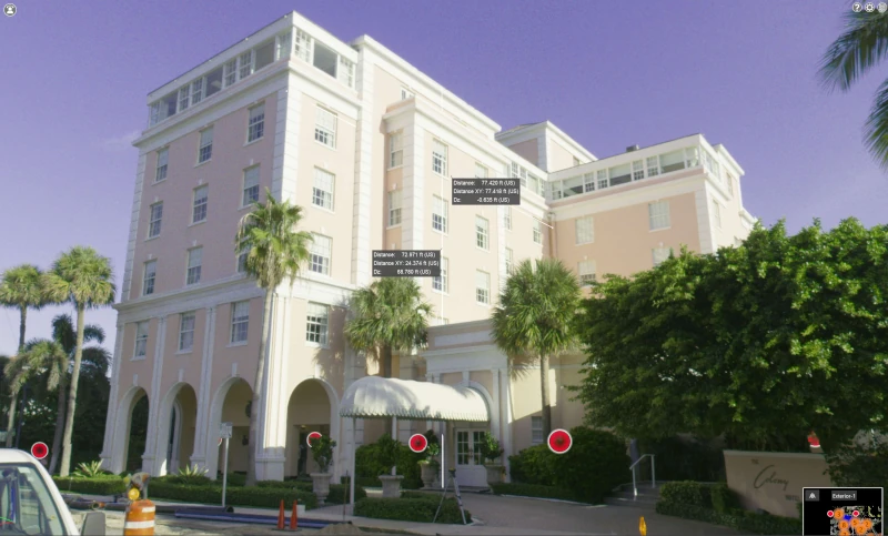
3D photogrammetry is a technique that uses overlapping photographs taken from multiple angles to reconstruct three-dimensional models. This reality capture method relies on computer vision algorithms to triangulate spatial coordinates (also known as orthomosaic imaging and registration), to produce textured 3D meshes, walkthrough tours, or point clouds for visualization and measurement. GPRS helps customers visualize the existing conditions, and we can integrate that data into 2D CAD drawings, BIM models, GIS workflows, and even above and below-ground documentation when your project requirements call for it.
Learn more about how GPRS 3D Photogrammetry Services can help your project.
Yes. GPRS provides 3D laser scanning services near you through a nationwide network of local Project Managers “boots on the ground” team, serving major U.S. markets. We’re ready to mobilize to sites nationwide, typically within the lead time of one to two days. Our 3D laser scanning services help architects and engineers outsmart the unknowns by capturing existing site and facility conditions, then delivering point clouds, 2D CAD drawings, 3D BIM models, virtual walkthroughs, and centralized access through SiteMap for easier coordination and informed decision-making.