.svg)
3D LASER SCANNING Services
For the Architecture, Engineering, and Construction Industries

///Start Accurate, Stay accurate
There is no better way to drive decision making than to have accurate, intelligent, real-time reality capture data that can be shared across the project team. Our clients can rest assured that design plans are accurately produced from the start, expediting field work and reducing change orders, delays, and costs.
///Our Services
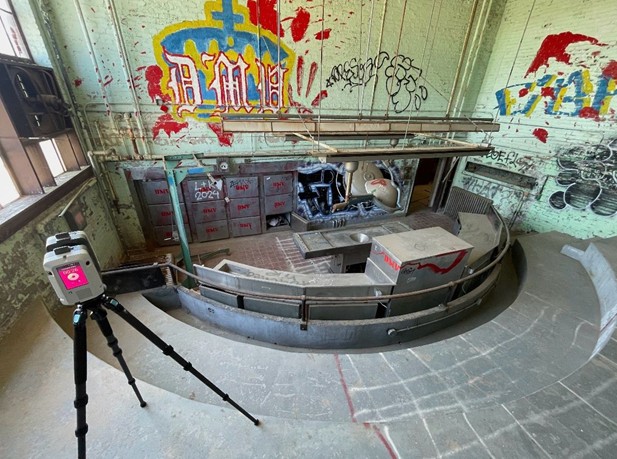
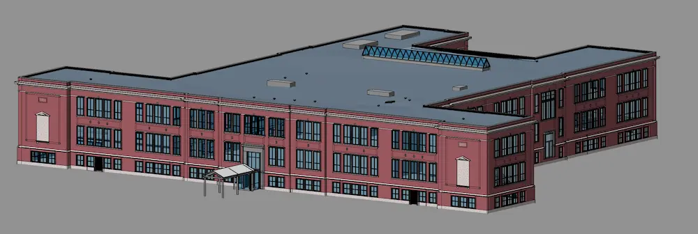
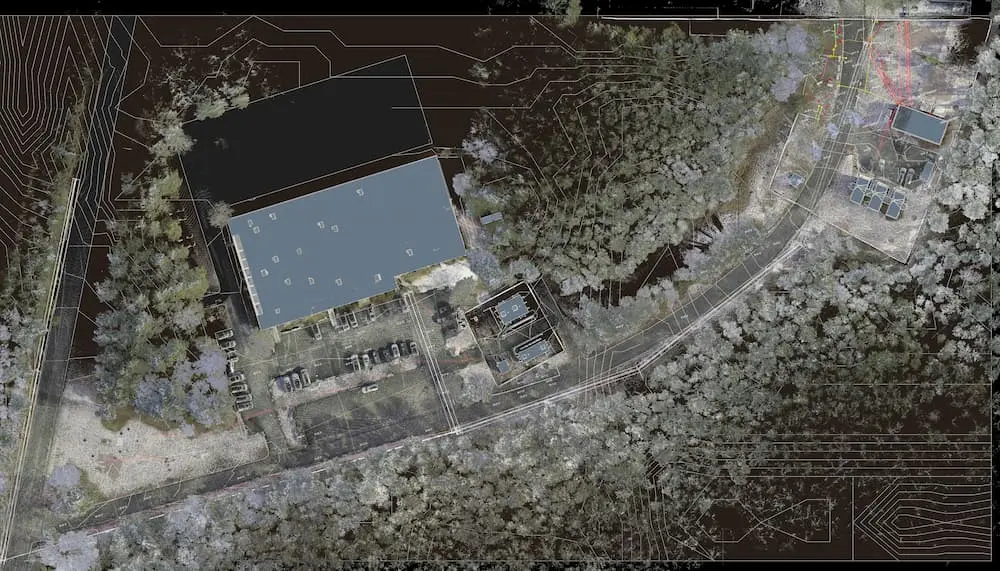
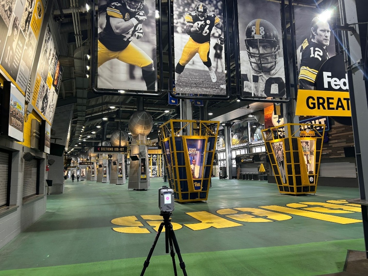
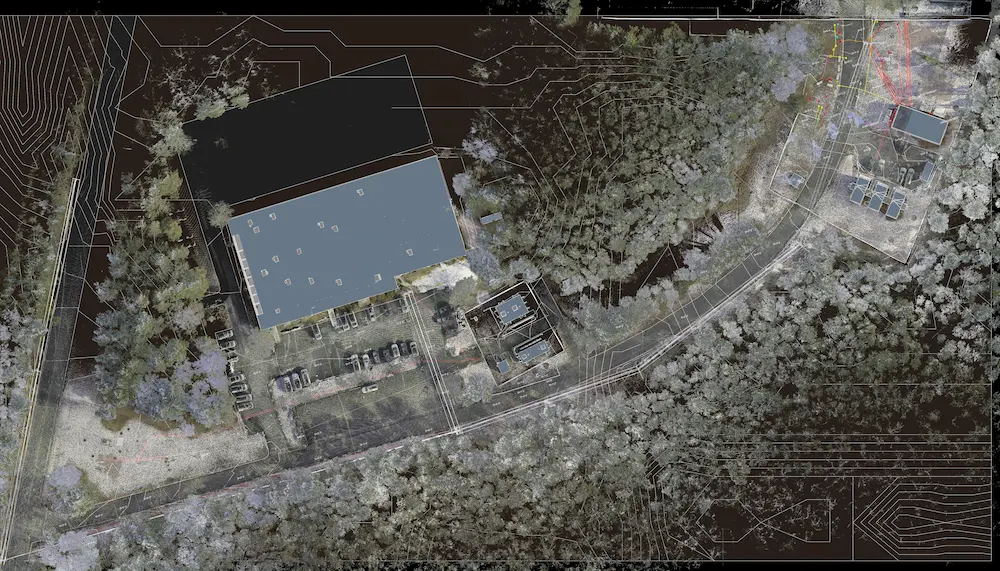
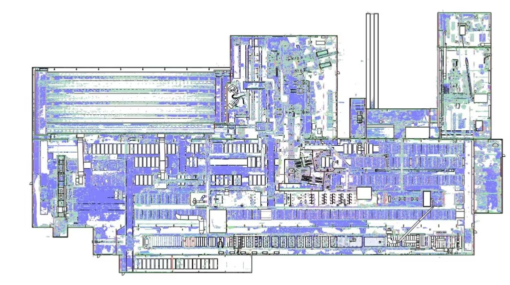
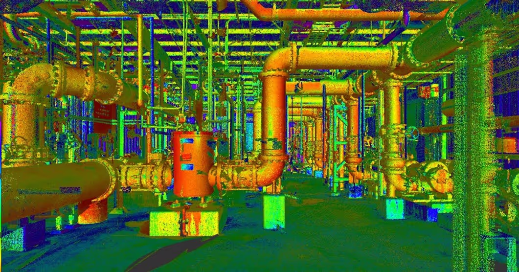
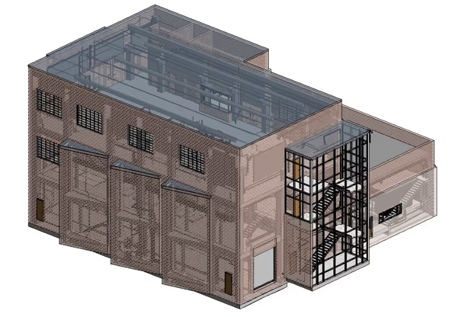
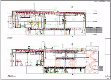
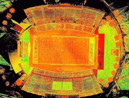
GPRS 3D Laser Scanning Services capture accurate as-built documentation of buildings and infrastructure with Leica laser scanners to deliver point clouds, 2D CAD drawings, and 3D BIM models that expedite project planning and execution.

.svg)


.svg)
.svg)
.svg)
.svg)
.svg)