A red and white logo for GPRS. | GPRS Images

GPRS Acquires Accu-Scan GPR to Expand Utility Locating Services in Northeast
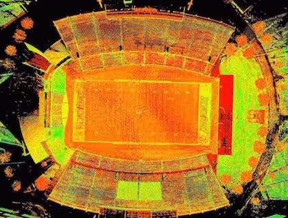
TruePoint Laser Scanning is a GPRS Company

Accu-Scan Is A GPRS Company

Schedule Service TodayDiscover More

MAUMEE, [August 6, 2025] – GPRS has acquired Accu-Scan GPR Corporation, a provider of concrete scanning and utility locating services based in Middle Village, New York. Accu-Scan is known for delivering the highest quality subsurface detection services to the engineering and construction industries, using state-of-the-art equipment, technology, and processes. This marks the twelfth acquisition for Maumee-based GPRS.

“GPRS is the ideal new owner for Accu-Scan,” said Brian Thomsen, President of Accu-Scan. “GPRS’ scale and reputation make it a perfect home for the Accu-Scan team. We are excited for this new partnership because it will allow us to provide a broader set of products and services, so we can better serve our clients and further accelerate our growth.”

Founded in 2012, Accu-Scan specializes in utility locating and concrete scanning, and has focused on innovation, quality, sustainability, and accessibility for  AEC, and related industries,

Accu-Scan represents a highly complementary acquisition that enhances GPRS’ existing capabilities and market position in the Northeast. “Accu-Scan is a tremendous fit for GPRS,” said Matt Aston, CEO of GPRS. “We share a similar vision, culture, and mission for serving our clients with the highest quality of service and support. We are excited about the partnership with Accu-Scan and believe that the combination of the two organizations will result in attractive growth opportunities.”

About GPRS

GPRS, headquartered in Maumee, Ohio, provides private utility locating, concrete scanning, video pipe inspection, leak detection, reality capture, laser scanning, and mapping and modeling services to utilities, contractors, architecture and engineering firms, and environmental consultants in every major market in the United States.

///Our Services

A blue and white drawing of a building with a lot of wires.
As-Built Services
As-built services capture exact architectural, structural, and MEP system dimensions and layout of existing buildings, facilities, and sites, making them invaluable for design, construction, renovations, and modifications.
Learn More
A green and blue image of a factory with pipes and valves.
Point Clouds
3D laser scanners record highly accurate digital measurements of sites and assets in the form of a point cloud and can be used to create 2D CAD drawings and 3D BIM models that improve project workflows, shorten turnaround times, and reduce costs.
Learn More
A 3D model of a building with a staircase.
3D BIM Modeling
Intelligent 3D Building Information Models (BIM) provide contractors, engineers, architects, and facility managers an accurate digital twin of buildings and infrastructure to collaborate on design, construction, and operations.
Learn More
A picture of a building with a red circle in the middle.
3D Photogrammetry
3D rendered images can be used to create virtual tours, floorplans, topographic maps, point clouds, 3D models, and more for planning, analysis, and calculations.
Learn More
A drawing of a building with a red roof and a green roof.
2D CAD Drawings
GPRS can translate 3D laser scan data into 2D CAD drawings that provide your team with up-to-date floor plans, elevations, sections, details, isometric drawings, reflected ceiling plans, and more.
Learn More
A red pipe with a blue wire running through it.
Clash Detection
3D laser scanning captures as-built site conditions with 2-4 mm accuracy, helping to identify potential clashes, prefabricate components, and plan a flawless installation.
Learn More
A 3D drawing of a church with a steeple.
Design-Build
3D laser scanning provides accurate as-built site data to prevent expensive rework by identifying any mistakes early in the design through the construction phase.
Learn More
A stadium seating chart with a red line on the field.
Drone Imagery
GPRS offers rectified photogrammetry, aerial video and images, LiDAR scans, 2D orthomosaic images, CAD drawings, 3D models, and 3D fly throughs thanks to a wide-range of drone services operated by FAA Licensed pilots.
Learn More

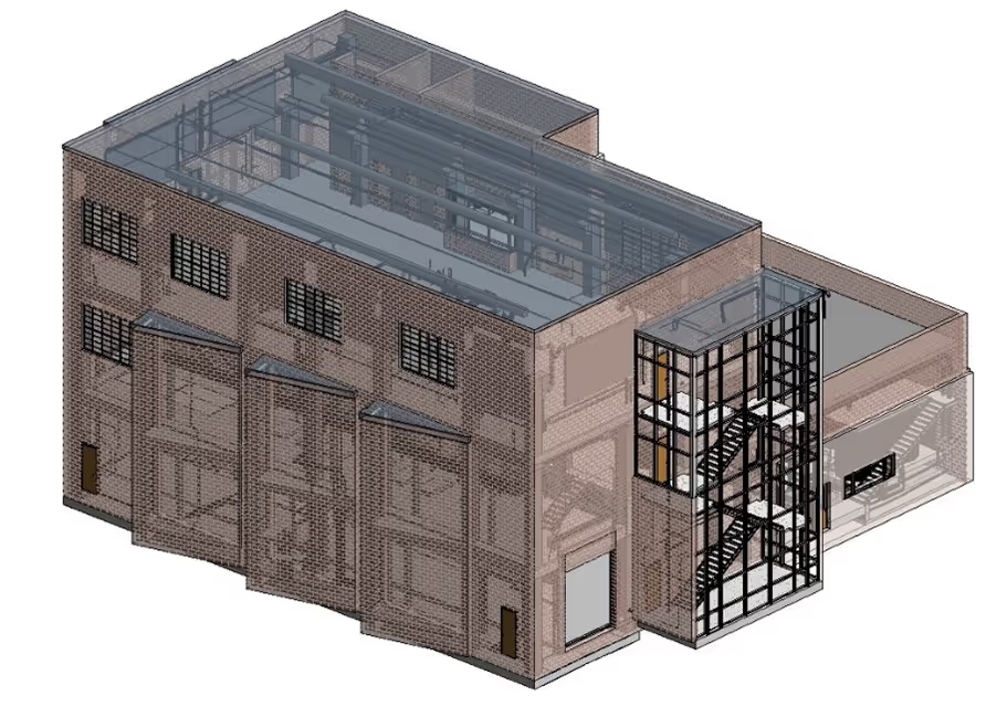
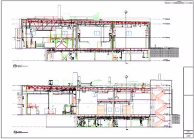
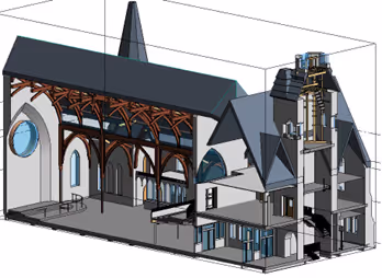
///3D Laser Scanning Pricing

The cost of 3D laser scanning can vary widely depending on your project scope. GPRS customizes every quote specific to your project’s needs. GPRS Project Managers use 3D laser scanners to capture every detail of your site, delivering building dimensions, locations, and layout with millimeter accuracy. This can include the aboveground structural, architectural, and MEP features, GPR utility locates & concrete scans3D laser & photogrammetry data, and video pipe inspection reports. Our Mapping & Modeling Team can deliver point clouds, 2D CAD drawings, 3D BIM models, 3D Mesh models, TruViews, and Virtual Tours at any level of detail.
A man wearing a hard hat and a red vest is holding a tablet.  | GPRS Images