

.svg)
POWER INDUSTRIES
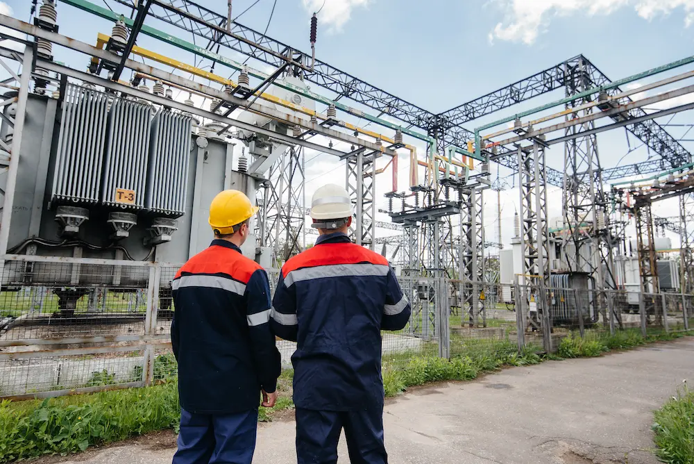
Eliminate Strikes, Reduce Rework in Power Delivery
Power generation, distribution, and transmission are vital to U.S. infrastructure and are at risk as part of $61 billion in annual utility damages. GPRS delivers 99.8% accurate utility locating on all projects with 2D & 3D solutions delivered via SiteMap® (patent pending) to help you coordinate work, prevent strikes, and stay on schedule.
.svg)


.png)
.png)
GPRS Supports Power Delivery Projects
Beyond line-of-sight reality capture for generation, transmission, substations, and distribution.
GPRS partners with power utility providers, contractors, engineers, and engineering, procurement, and construction (EPC) firms to reduce risk, improve coordination, and deliver accurate as-builts across the full power delivery lifecycle.

Engineers & Surveyors
High-resolution data for design, modeling, and analysis, supporting:
- Transmission lines
- Substation infrastructure upgrades and equipment installations
- Right-of-ways (ROW) corridors
Ground Penetrating Radar (GPR)
Electromagnetic (EM) locating
LiDAR scanning
General Contractors & Subcontractors
Collaborates alongside construction teams to ensure safe excavation and efficient execution through utility locating, concrete scanning, and leak detection to:
- Help you avoid costly and dangerous subsurface damage
- Minimize downtime
- Pinpoint hidden leaks to prevent water loss, damage, and costly repairs
Concrete scanning
Concrete scanning
Leak detection
Power Utility Providers
Partners with leading power utility providers, including Duke Energy, Exelon, and American Electric Power, supporting:
- Transmission and distribution upgrades
- Substation renovations
- Grid modernization initiatives
Transmission and distribution upgrades
Substation renovations
Grid modernization initiatives

Developers & EPC Firms
From pre-construction planning through commissioning, GPRS provides:
- Full-site visualization
- 2D CADD drawings for routing, clearance checks, and record documentation
- 3D BIM models of corridors and substations
- Interactive virtual site visits and CADD/BIM deliverables via SiteMap
Full-site visualization
2D CAD drawings
2D CAD drawings
3D BIM models
Virtual tours accessible via SiteMap®
How GPRS Supports Power Delivery Projects
Beyond line-of-sight reality capture for generation, transmission, substations, and distribution.
Years in Business
Accuracy in Utility Locating & Concrete Scanning
Access to Your Data with SiteMap®
SIM-Certified Project Managers
Generation
Power generation facilities operate under strict safety and compliance standards, including OSHA 29 CFR 1910.269 and NFPA 25.
Key Challenges
Limited outage windows
Tight tie-in tolerances
Unknown embedded conditions
Our Solutions
Cross bore investigations
Structural condition assessments
Blockage and defect identification
Key Challenges
- Limited outage windows
- Tight tie-in tolerances
- Unknown embedded conditions
Our Solutions
- Reality capture services for tie-ins and clearance studies
- Concrete scanning services to locate rebar, post tension cables, and embedded utilities
- Above and below-ground documentation to reduce the risk of structural damage and costly delays
- Video pipe inspection to identify internal defects, blockages, or structural issues
- Leak detection to pinpoint hidden leaks


Transmission
Transmission projects must comply with the National Electrical Safety Code (ANSI C2) and ASCE 38-22 SUE standards.
Our Solutions
Utility locating and mapping on public and private property
GPR and EM technology for underground and overhead transmission
Reliable data for HDD, redesign avoidance, and conflict resolution
Key Challenges
- New transmission tower or pole installation without subsurface data can lead to accidental utility strikes
- Limited outage windows and access/permitting constraints
Our Solutions
- Utility locating and mapping on public and private property
- GPRS Project Managers utilize ground penetrating radar (GPR) and electromagnetic (EM) locating technologies for underground and overhead transmission
- Reliable data for horizontal directional drilling (HDD), and to avoid redesigns and relocations
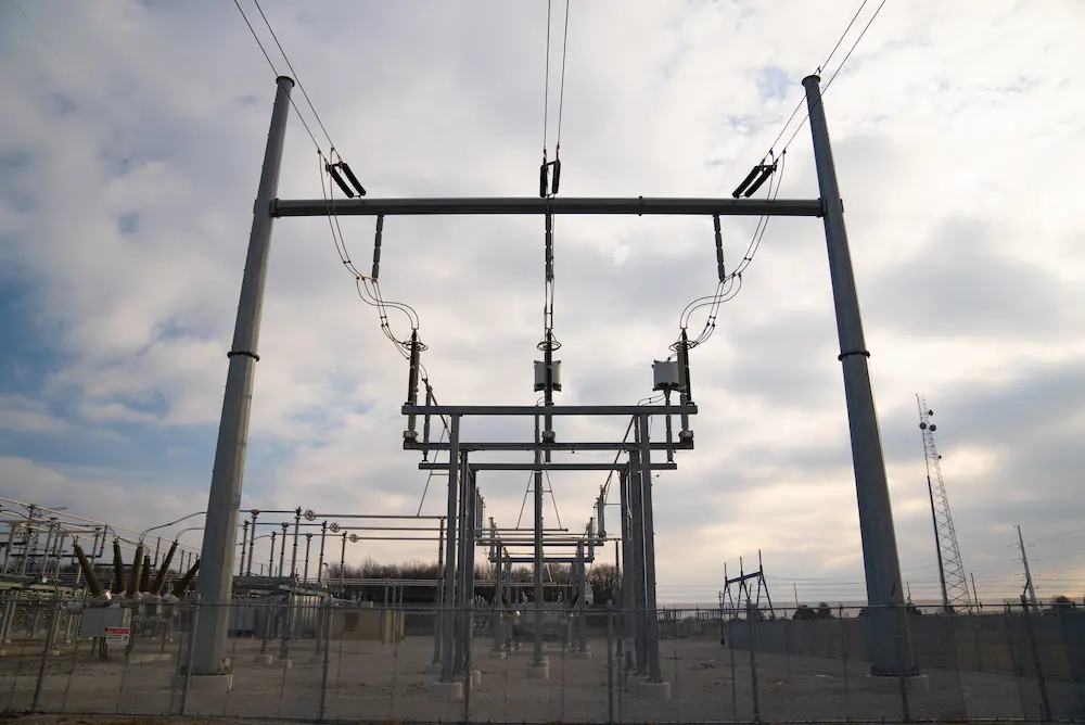
Substations
Substations handle high fault currents and have strict safety requirements under IEEE Std 80 and OSHA 29 CFR 1910.269.
Key Challenges
- Construction, excavation, and maintenance, especially on Brownfield sites, carry increased safety and environmental risk
- Inaccurate or incomplete subsurface data increases utility strike risk
- Upgrades and installations require accurate CADD/BIM to avoid rework and delays
Our Solutions
- CADD files of grounding grids and duct banks
- 3D laser scanning of switchyards, control buildings, and equipment clearances
- Accurate E57 point clouds for design, outage planning, and expansions
- CADD/BIM of structural and subsurface infrastructure
Our Solutions
Mapping grounding grids, duct banks, and buried conductors
Laser scanning of switchyards, control buildings, and equipment clearances
Millimeter-accurate E57 point clouds and digital twins for design, outage planning, and expansions

.avif)
Distribution
Distribution networks combine overhead and underground infrastructure governed by NESC and ASCE 38-22 standards.
Key Challenges
- Plan clear substation pathways
- Identifying underground utilities is critical pre-construction
- Much of the power grid is outdated
Our Solutions
- Reality capture for overhead clearance verification
- Utility locating, depths, and maps of duct banks to help prevent clashes and utility strikes
- NASSCO-certified video pipe inspection (VPI) for conduit condition assessments
- Horizontal directional drilling (HDD) planning with cross bore prevention and pre-/post-install inspections
Our Solutions
Reality capture for overhead clearance verification
Utility locating for dense underground corridors
NASSCO-certified VPI and CCTV inspections
HDD planning with cross-bore prevention and post-install verification
Construction Applications
Supporting the full spectrum of modern power delivery infrastructure projects
- Corridor utility mapping minimizes utility strikes and traffic issues
- HDD clearance protects underground utilities
- Construction staging speeds up EV installations
- Reduce subsurface utility strikes
- Coordinate grounding grids at interconnect points
- Use 3D laser scanning for equipment pad and enclosure fit-up
- Utility locating and duct bank as‑built documentation to accelerate make‑ready schedules for large feeders and substation tie‑ins
- Subsurface Investigation Methodology (SIM)-certified utility investigations
- Cross bore prevention
- Post-install VPI to check clearances and lower restoration claims
- Laser scan as-found conditions for precise shop models and field fit-up
- Includes steel, cable trays, pipe racks, and equipment pads
Related Case Studies

What Our Clients Say
Frequently Asked Questions
Utility locating identifies, verifies, and maps buried public and private utilities before trenching, boring, or duct bank work begins. For contractors, these services are used to confirm existing conditions, support safe excavation, and improve coordination across the jobsite. GPRS provides 99.8% accurate utility locating and mapping to help contractors reduce utility strikes, clashes, and delays on power delivery projects. Learn more about our Utility Locating Services here.
GPRS locates underground power lines by combining ground penetrating radar (GPR), electromagnetic (EM) locating, and Subsurface Investigation Methodology (SIM), along with other complimentary technologies. This process helps identify buried utilities, verify their paths, and estimate depths where possible. Findings are field-marked and uploaded into SiteMap using Real-Time Kinematic Positioning (RTK), so you can review your utility data before construction begins. RTK Positioning provides accuracy within inches, compared with standard GPS accuracy within eight feet. See how this supported a power distribution system installation with 99.8% accurate utility locating: Power Duct Bank Case Study.
A standard GPRS utility locate includes field mark-outs, PDF and KMZ utility maps, and SiteMap Personal access. These deliverables give contractors a clear record of utility paths for coordination and construction planning. You can also request 2D CADD drawings, 3D BIM models, and other digital as-builts for planning, design, and historical documentation. Learn more about our Utility Locating Services here.
3D laser scanning uses Light Detection and Ranging (LiDAR) to capture exact existing conditions of power facilities, structures, and sites. LiDAR is a remote sensing method that uses pulsed laser light to measure distances to a target. This scan data supports planning, design, coordination, clash detection, and record documentation across power delivery projects. GPRS converts laser scan data into point clouds, virtual tours, 2D CADD drawings, 3D BIM models, and 3D mesh models that help project teams work from accurate as-built information. Learn more about GPRS’ Reality Capture Services here.
GPRS attains industry‑leading accuracy by deploying a multi‑technology methodology that integrates ground penetrating radar (GPR), electromagnetic (EM) locating, and other complementary technologies. All GPRS Project Managers are trained and certified in SIM. SIM is a step-by-step guide that uses experience-based training, multiple types of locating technologies, and applied methods and practices to achieve a very low investigation error rate. This structured workflow reduces uncertainty in congested transmission corridors, substations, and generation facilities. Learn more at Utility Locating Services and Concrete Scanning Services.
Concrete scanning helps power teams cut, core, and drill safely in generation facilities, substations, transmission sites, and distribution systems. GPRS uses GPR to locate rebar, conduit, post tension cables, voids, and other embedded hazards before crews install equipment, make penetrations, or begin upgrades. This helps contractors reduce damage, limit rework, and protect critical infrastructure in high-risk environments. Learn more about GPRS’ Concrete Scanning Services and How GPRS Supports Power Delivery Projects here.
Ready to Break Ground with Confidence?
We deliver 99.8% accurate utility locating and mapping services your team can use immediately.