.svg)

.svg)

A sinkhole left one Texas community with a massive repair bill after it caused significant damage to the municipality’s main sewer line.
According to Community Impact Newspapers, Southern Montgomery County Municipal Utility District (SMC MUD) discovered the sinkhole in the City of Oak Ridge North, Texas. On August 12, Oak Ridge North City Council approved a $45,242 expense to cover the cost of the emergency repairs required to prevent loss of service to city residents.
“There was about 20 linear feet of ductile iron pipe, and a manhole where we had a pretty significant sinkhole that was identified,” said Kim Wright, general manager of SMC MUD. “We have some significant deterioration in this area, and so we have defined a project for this next fiscal year to start addressing this area. It’s approximately just over 1,700 linear feet of ductile iron pipe in this area, and about 14 manholes that we’re looking at rehabbing.”
According to Community Impact’s article, the funding approved by Oak Ridge North’s city council in August will go toward a $138,920 engineering study performed on behalf of SMC MUD to determine the best course of action for repairs.
Wright told the publication that she will return to provide the city’s expenses for the actual reconstruction of the pipeline once a construction bid is completed. This cost will be shared with the other municipalities which are serviced by SMC MUD. Wright said that the total construction estimate is roughly $828,000.
Sinkholes present an often overlooked but significant threat to our infrastructure, especially to buried utilities like water mains, gas pipelines, electrical conduits, and telecommunications cables.
As urban centers expand and aging infrastructure faces new challenges, understanding sinkholes’ impact and how to mitigate their effects is crucial.

Common Causes of Sinkholes
Sinkholes are caused by the dissolution of soluble bedrock (karst topography), water infrastructure leaks, heavy rainfall, drought, and excavation activity. Sinkholes form due to natural and human-induced factors that destabilize the ground beneath the surface, creating a cavity that eventually collapses. Understanding these causes is the first step in developing effective strategies to protect buried utilities.
1. Natural Geological Processes
- Karst Topography: One of the most prevalent natural causes of sinkholes is the dissolution of soluble bedrock, such as limestone, gypsum, or salt, over time. This process, known as karst topography, occurs as groundwater moves through the rock, slowly dissolving it and creating underground voids. Eventually, the surface layer can collapse, creating a sinkhole. Areas with significant karst landscapes, such as Florida and parts of the Midwest, are particularly vulnerable
- Heavy Rainfall and Flooding: When areas receive heavy rainfall or experience flooding, soil and rock layers can become saturated. Excessive water can erode these layers, weakening their structure and increasing the likelihood of a sinkhole. Regions prone to tropical storms, hurricanes, or monsoons are at a higher risk of weather-induced sinkholes
- Drought: In a counterintuitive twist, drought conditions can also lead to sinkholes. As water levels drop, underground voids that were once supported by water pressure can collapse, causing the ground above to sink
2. Human-Induced Causes
- Water Infrastructure Leaks: Aging water infrastructure, especially in older cities, is prone to leaks that can erode surrounding soil over time, leading to sinkholes. Leaking water mains or sewer lines gradually wash away soil, creating voids that eventually cause the ground to collapse
- Construction and Excavation: Construction activities that involve heavy machinery or deep excavation can destabilize nearby soil, especially in areas with loose or sandy ground. Blasting, pile driving, or removing large volumes of earth can cause localized sinkholes by disturbing the natural equilibrium of the soil. A private utility locate before any ground disturbance is one of the most effective utility protection measures available during excavation to prevent utility strikes, and to identify subsurface conditions that could indicate void formation
- Mining and Drilling: Extractive activities, such as mining and drilling for oil or natural gas, can contribute to sinkholes. By removing subsurface materials, these activities leave behind voids that can collapse over time. Even abandoned mines, which are sometimes overlooked, can pose a long-term sinkhole risk if not properly managed
Prevention Strategies to Minimize Sinkhole Risk
While sinkholes are challenging to prevent entirely, especially in high-risk regions, certain strategies can mitigate their occurrence and limit the associated risks to infrastructure.
- Regular Infrastructure Inspections and Maintenance: Conducting frequent inspections of underground utilities, especially older water and sewage systems, is essential to identify leaks or weaknesses that could lead to sinkholes. Utility companies often use advanced technologies, like ground-penetrating radar (GPR) and acoustic leak detection, to detect anomalies beneath the surface. Early detection allows for prompt repairs, preventing small issues from escalating into full-blown sinkhole crises.
- Improving Drainage and Water Management: Adequate drainage systems help reduce soil saturation during heavy rainfalls, which is critical in minimizing sinkhole risk. Installing systems that channel water away from vulnerable areas and maintain groundwater levels can prevent destabilizing soil erosion. In urban areas, replacing impervious surfaces like concrete with permeable materials can reduce runoff and allow better water absorption into the ground.
- Responsible Construction Practices: In construction projects, soil studies and geotechnical surveys are crucial to assess potential sinkhole risks before breaking ground. Building on stable ground and avoiding construction in high-risk karst areas, when possible, can significantly reduce sinkhole formation. Additionally, reinforcing underground utility installations with protective layers, such as concrete or other materials, can help maintain stability.
- Policy and Zoning Regulations: City planners and policymakers play a role in minimizing sinkhole risk by enforcing regulations that prevent construction in high-risk areas. Zoning regulations can restrict development in regions with significant karst topography or where there is a history of sinkholes. In regions where development must occur in vulnerable areas, stricter building codes and mitigation requirements can provide additional safeguards.
Protecting Buried Utilities from Sinkhole Damage
For utilities buried beneath the ground, sinkholes represent a critical vulnerability. Fortunately, there are strategies and technologies that can offer some level of protection.
- Robust Utility Installation Standards: The materials and methods used to bury utilities impact their resilience to ground movement. Installing pipes, cables, and conduits in a protective casing, such as concrete, helps shield them from soil shifts caused by sinkholes. Reinforced materials can also absorb some of the stress created by ground settlement or subsurface instability, reducing the likelihood of complete failure.
- Utility Placement and Depth Considerations: When installing new utilities, carefully selecting the depth and location can reduce the risk of damage from sinkholes. In areas with known sinkhole risks, utilities should be buried deeper or rerouted to more stable regions. Situating utilities away from water-logged soil or natural drainage paths also helps protect them from soil erosion.
- Monitoring and Detection Systems: Installing sensors along utility lines can help detect early signs of potential sinkhole formation. Ground-penetrating radar (GPR), for example, can identify subsurface anomalies and changes in ground conditions, allowing utility companies to act proactively. Advanced warning systems can alert crews to shifts in the ground, enabling quick intervention to prevent or mitigate sinkhole damage.
- Relocating Critical Utilities: In regions with a high incidence of sinkholes, it may be necessary to relocate critical infrastructure to minimize damage risks. In such cases, utility companies can assess the most vulnerable utilities and move them to safer areas or use above-ground installations if feasible. While expensive, relocating essential utilities reduces the long-term risks and costs associated with frequent sinkhole damage.

A Proactive Approach to Sinkhole Management
With a combination of technology, infrastructure investment, and regulatory planning, it’s possible to reduce the impact of sinkholes on buried utilities, ensuring this infrastructure remains secure despite the challenges posed by these geological threats.
GPRS (Ground Penetrating Radar Systems), the nation’s largest private utility locating company, is proud to offer a comprehensive suite of subsurface damage prevention, existing conditions documentation, and construction & facilities project management services and products designed to keep you on time, on budget, and safe. Our 99.8%+ accurate utility locating services help you find, and map buried infrastructure, ensuring you know where you can and can’t safely dig during excavation projects.
Our Video Pipe Inspection services utilize remote-controlled sewer inspection rovers and push-fed sewer scopes equipped with CCTV cameras and traceable instrument probes, so we can inspect your buried sewer lines for defects and damage at the same time we're mapping these critical utilities. A deteriorating sewer line is one of the most common precursors to a sinkhole. The same gradual soil erosion that causes a sewer line sinkhole can go undetected for years without a proactive inspection program. Using acoustic leak detectors and leak detection (also known as leak noise) correlators, we can pinpoint leaks in buried water lines that, if left untreated, could produce the same result: a water main leak sinkhole that disrupts service and triggers costly emergency repairs.
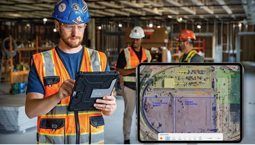
All this crucial infrastructure data needs to be at your fingertips when and where you need it. That’s why GPRS created SiteMap® (patent pending) a facility & project management application that provides existing conditions documentation to protect your assets and people. Easily, yet securely accessible 24/7 via computer, tablet, or smartphone, SiteMap® ensures you and your team have the accurate, complete data you need to plan, design, manage, dig, and ultimately build better.
GPRS’ SiteMap® team members are currently scheduling live, personal SiteMap® demos. Click below to schedule your demo today!
Sinkhole Risk by Region
Sinkhole risk is not evenly distributed across the United States. Certain geologies and climates create conditions where sinkholes form with far greater frequency, and infrastructure managers in those regions carry a disproportionate share of the risk.
Florida is the most sinkhole-prone state in the country. Its limestone bedrock dissolves readily under the state’s high rainfall and shallow water table, producing thousands of documented sinkholes annually. Aging water and sewer infrastructure in cities like Tampa, Orlando, and Jacksonville compounds the natural risk.
Tennessee, Alabama, and Kentucky sit atop extensive karst terrain in the Appalachian region. The valley-and-ridge geography concentrates groundwater movement through soluble rock, making these states consistently high-risk for sinkhole formation near roads, pipelines, and utility corridors.
Pennsylvania and Missouri combine karst topography with a legacy of mining activity, creating layered risk: natural dissolution from below and abandoned underground voids from decades of coal and mineral extraction above. Both states see sinkholes triggered by construction, heavy rainfall, and utility failures.
Regardless of region, the common thread is aging infrastructure accelerating natural risk. GPR-based utility locating and video pipe inspection are particularly valuable in high-risk areas, where proactive leak identification can prevent small subsurface problems from becoming costly surface failures.
Frequently Asked Questions
How far into the ground can GPR penetrate?
GPR can penetrate 18–24 inches for concrete scanning and up to 8 feet for utility locating on open ground, though site conditions significantly affect results.
It depends on the application and external factors.
For precision concrete scanning, GPR can typically penetrate 18”-24” into the ground. When locating buried utilities on grass, asphalt, or concrete, the antenna can generally penetrate up to 8’, but this can vary greatly depending on site conditions.
To compensate for GPR’s limitations, GPRS’ SIM-certified Project Managers are specially trained to utilize complimentary technology such as electromagnetic (EM) locating.