


.svg)
Introducing SiteMap®
The Ultimate Digital Deliverable
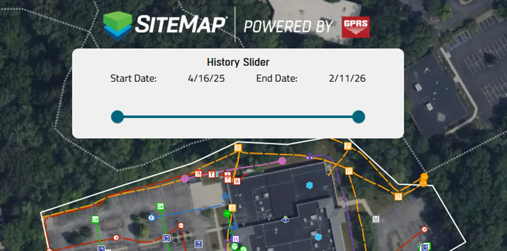
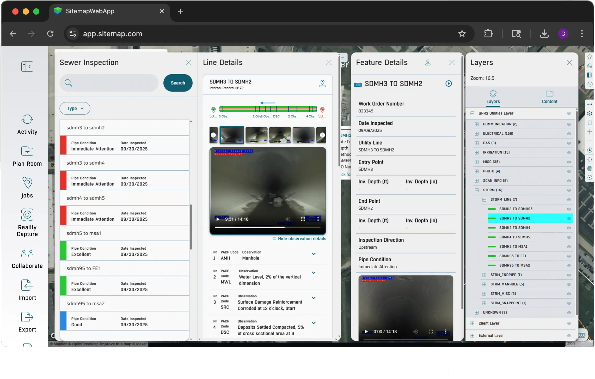
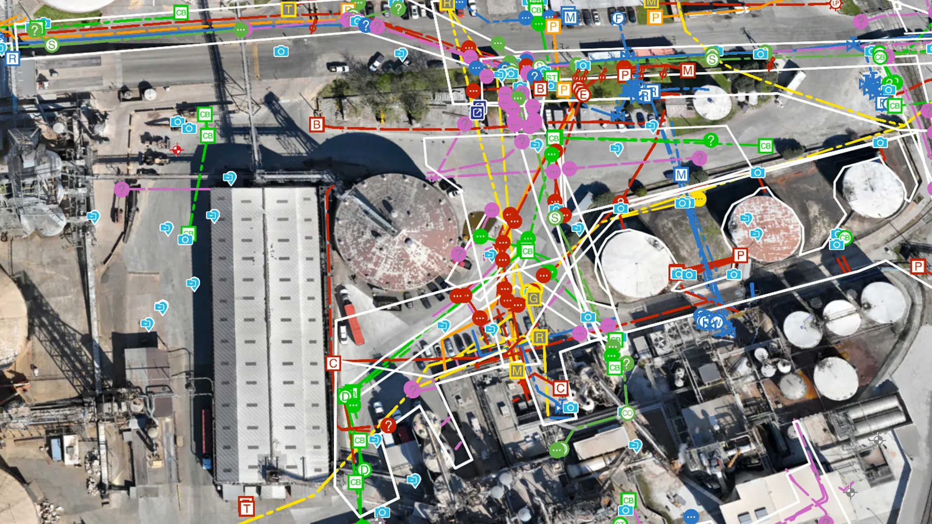
SiteMap supports AEC and facility teams by making site and utility plans easy to visualize, access, and trust. Teams can verify existing conditions, avoid expensive surprises, and plan work with confidence.
How Teams Use SiteMap
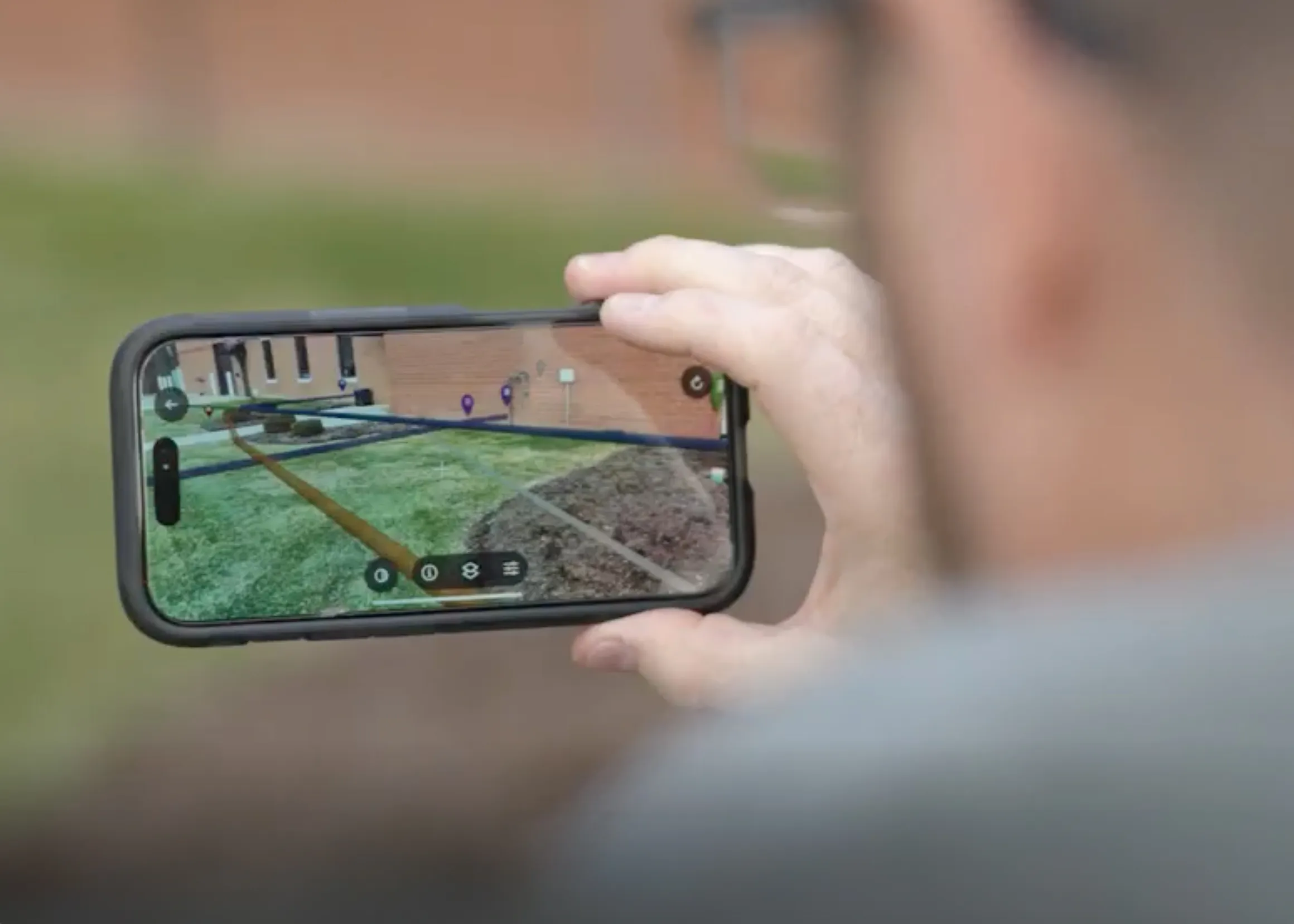
Augmented Reality
Walk your jobsite and use your phone to see underground utilities and pipe flow appear exactly where they are in real time.
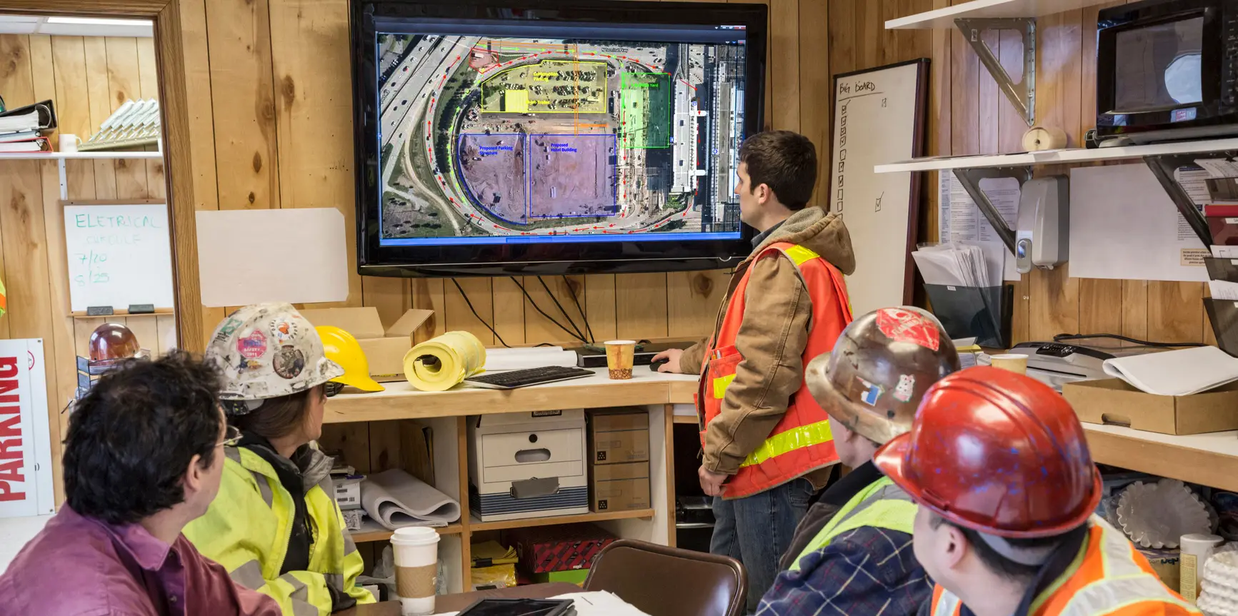
My Dig Board
A digital jobsite blueprint for clear, consistent communication on excavation paths, placements, and priorities.
.webp)
Customer Self‑Service Form
Request additional services in SiteMap, so your team gets what they need without the back and forth.
.webp)

Why Teams Choose SiteMap
Here’s what our clients say about using SiteMap for accurate utility data and job site planning.
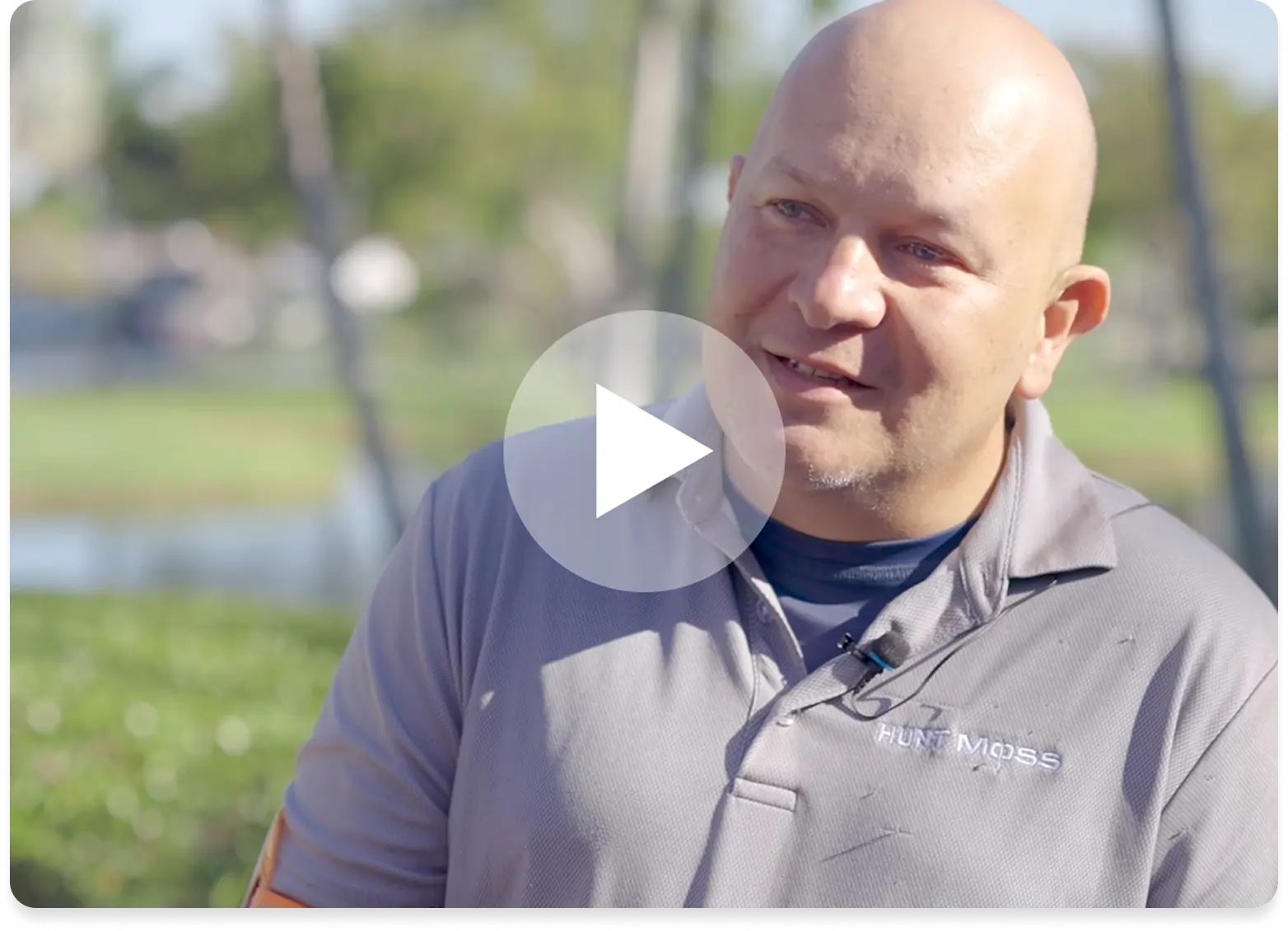
Hunt Moss
.webp)
Brasfield & Gorrie, LLC
.webp)
The University of Toledo
-(1).webp)
Above, Below, & Beyond
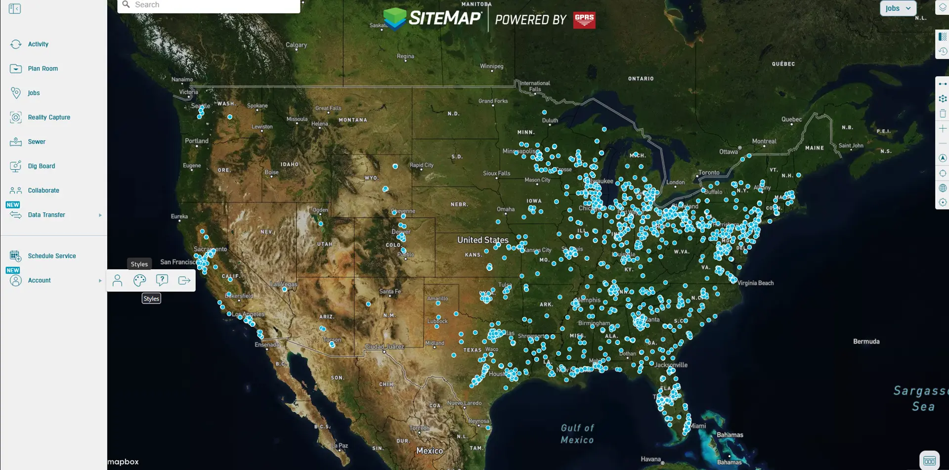
Centralize your utility maps, BIM models, digital twin enhancements, and project data in one GIS platform. Provide your team with clear details to enhance safety, reduce costs, and enable you to plan, build, and manage, better.

Related Case Studies
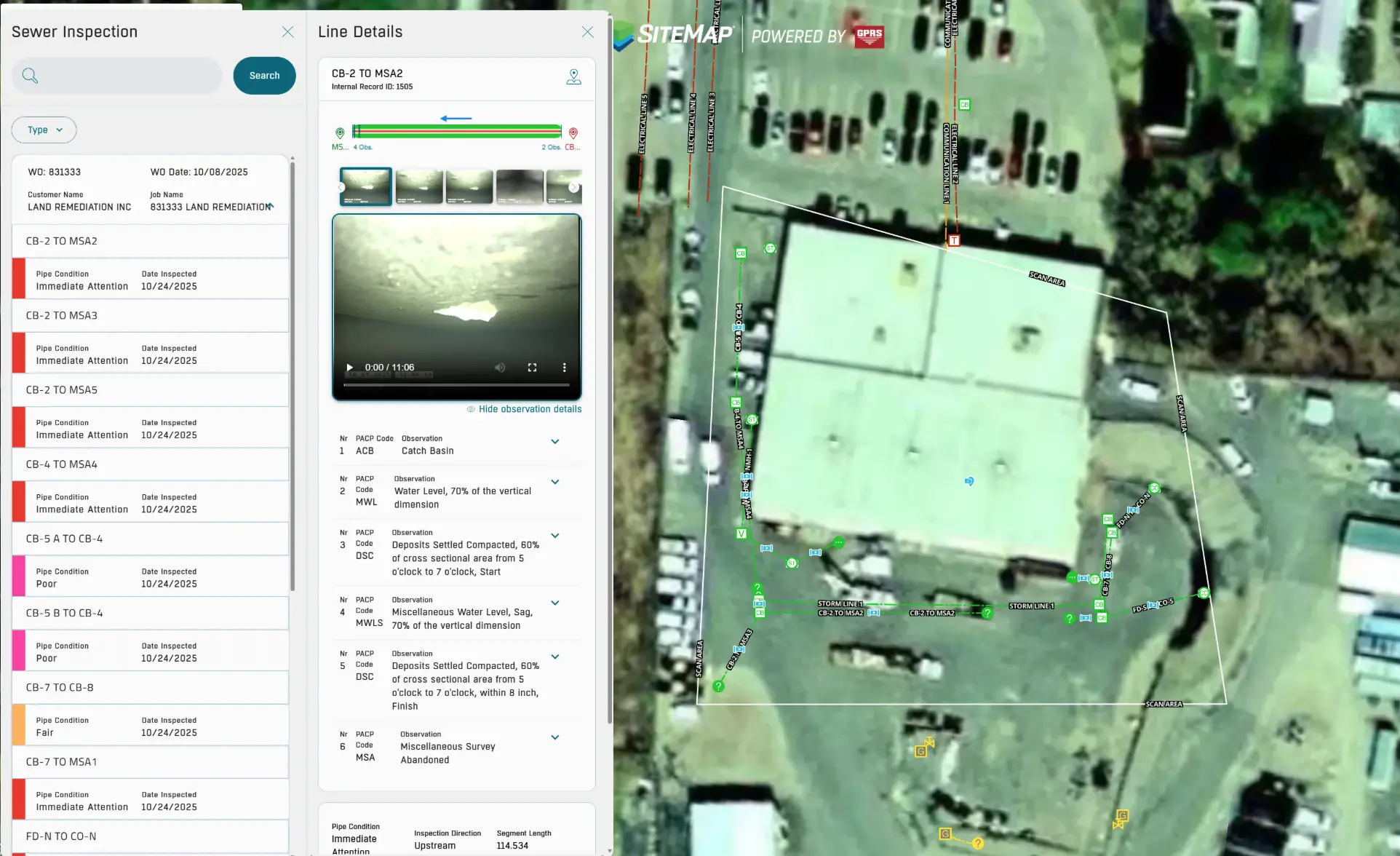
The SiteMap Sewer Layer Visualizes Multiple Sewer Blockages for Routine Inspection of New York Energy Company
View the Full Case Study
.svg)
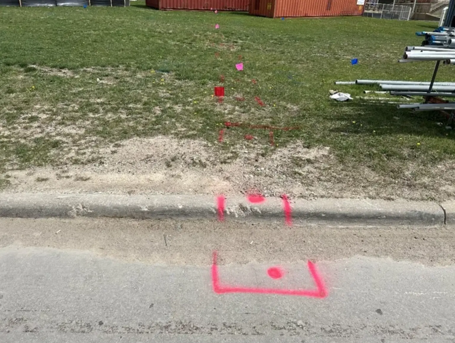
GPRS Scans 4+ Acres For Facility Utility Installation Project
View the Full Case Study
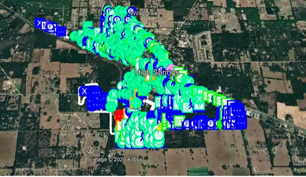
GPRS Streamlines Full City Fiber Build-Out for Directional Drilling Contractor
View the Full Case Study
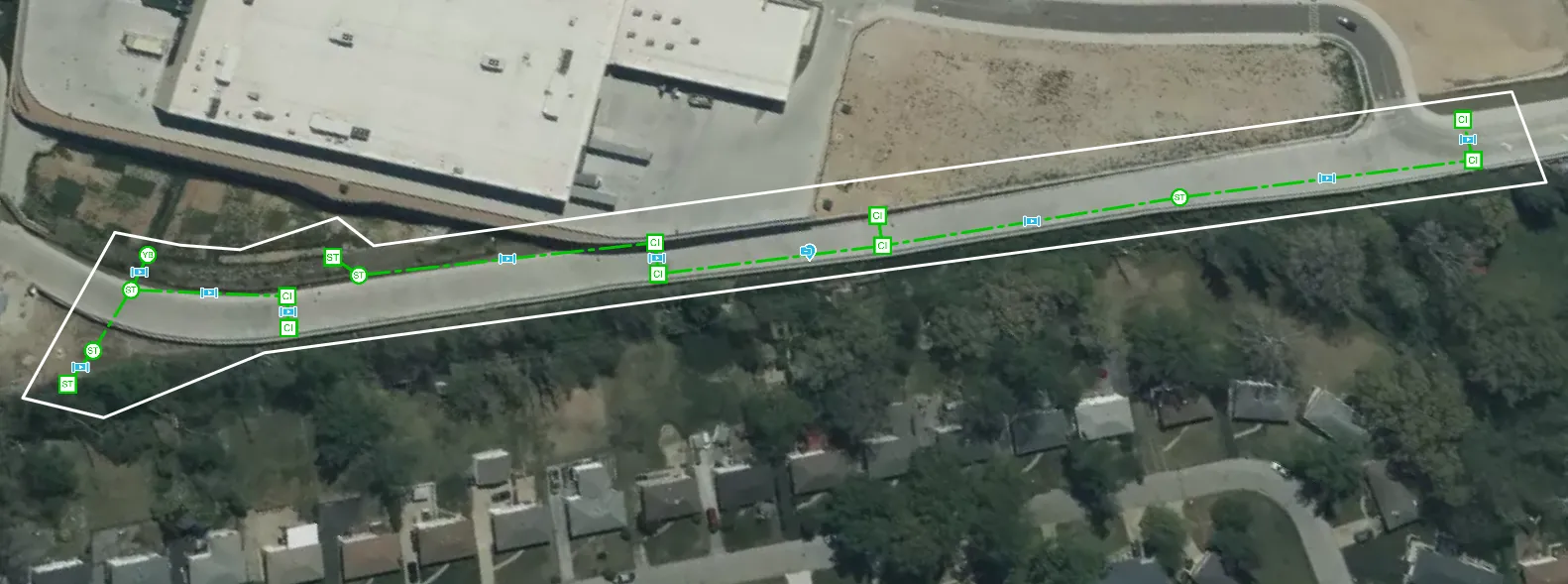
GPRS Video Pipe Inspections Paired with the SiteMap Sewer Layer Aid City Sewer Project in St. Louis
View the Full Case Study
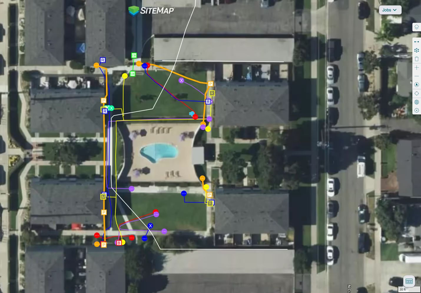
GPRS Utility Locating & SiteMap® Platform Protect Expansion Project at California Apartment Complex from Subsurface Damage
View the Full Case Study
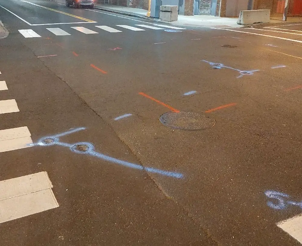
GPRS Roadway Utility Locating for Contractor in Massachusetts
View the Full Case Study
See Your Site in a New Way
Tell us about your site and see what SiteMap can do for your projects.