

.svg)

Highlights
THE BOTTOM LINE
GPRS located all underground utilities over four acres of land to help prevent utility strikes when installing electrical conduit across the whole facility.
Industry
Service
Utility Locating
Location
GPRS Project Manager Insight
Deliverables
PROJECT APPLICATION
ASK
Task
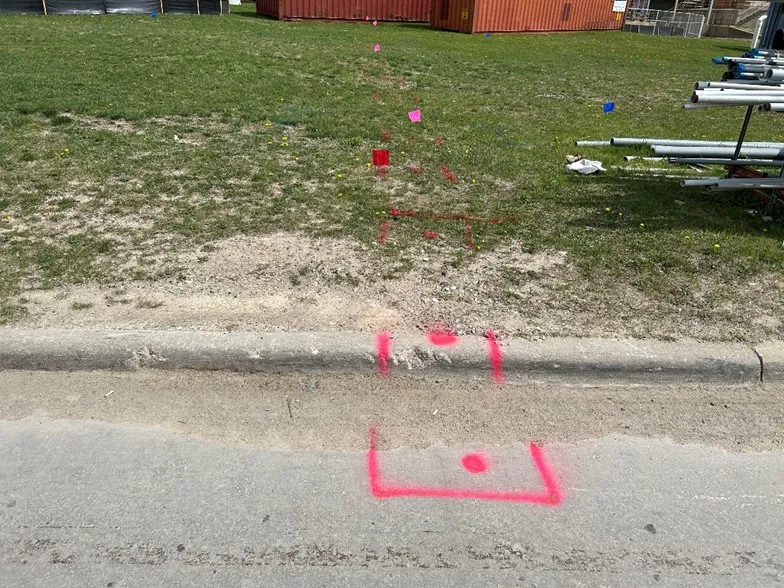
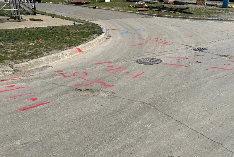
Perform underground utility scans over a vast majority of the plant – 4+ acres for electrical conduit installation clearances
PROBLEM
- The client plans to add new electrical conduit across the entire facility
- There were no current or accurate as-built records of the utilities on site
Solution
- A team of GPRS Project Managers scanned and marked out all subsurface utilities over four acres of land
- By following the guidelines of Subsurface Investigation Methodology (SIM), they used both ground penetrating radar (GPR) scanners and electromagnetic (EM) locators to locate any underground utilities
- All the 99.8% accurate, field-verified, and RTK-positioned data was uploaded to SiteMap® (patent pending), GPRS’ infrastructure mapping software application, for almost instantaneous delivery to the client
Benefits
- The client can now drill and install with confidence and avoid utility strikes
- The client can access and securely share their interactive subsurface utility maps 24/7 via SiteMap®
CASE STUDY GALLERY


No items found.


.webp)


.avif)