.svg)
Concrete Scanning You Can Trust
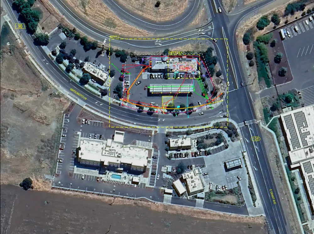
GPRS’ 99.8% accurate concrete scanning and imaging shows you what’s hidden before you cut, core, or drill.
Because hitting rebar, conduit, or post tension cables can threaten your schedule, your budget, and the safety of your crew.
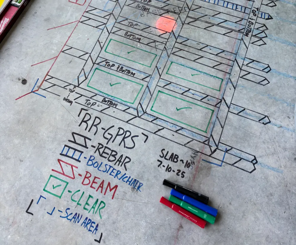
That’s why we ensure the accuracy of our concrete work with the Green Box Guarantee. If we mark a green box with the word “Clear” on your slab, it is free of obstructions – we guarantee it.
So you can cut, core or drill with confidence, avoid strikes, and keep your jobsite safer.
Let’s Get to Work. Complete the form to request a quote today.
Concrete Scanning You Can Trust
GPRS’ 99.8% accurate concrete scanning and imaging shows you what’s hidden before you cut, core, or drill.
Because hitting rebar, conduit, or post tension cables can threaten your schedule, your budget, and the safety of your crew.
That’s why we ensure the accuracy of our concrete work with the Green Box Guarantee. If we mark a green box with the word “Clear” on your slab, it is free of obstructions – we guarantee it.
So you can cut, core or drill with confidence, avoid strikes, and keep your jobsite safer.
Let’s Get to Work. Complete the form to request a quote today.
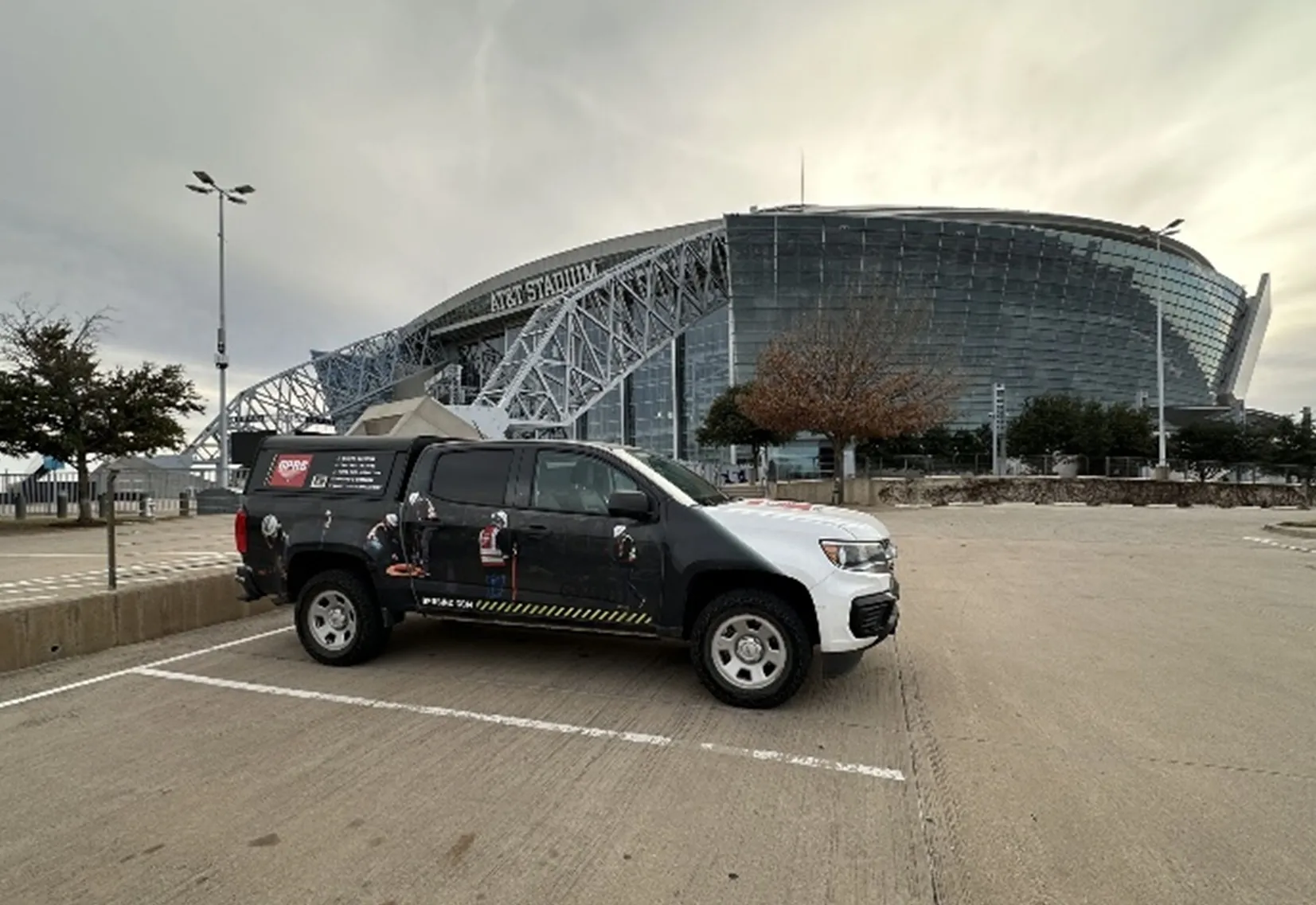
Clients We Partner with


a Project Manager Near You
.svg)
Why Construction Teams Choose GPRS
Eliminate hidden hazards inside concrete to protect crews and equipment while avoiding unexpected downtime.