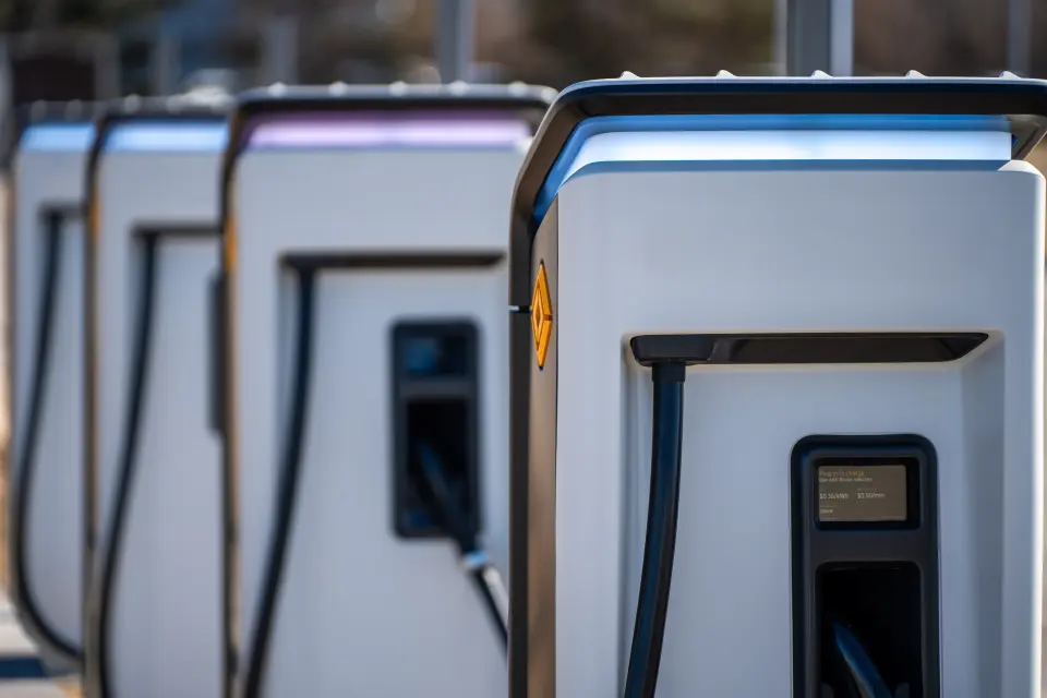
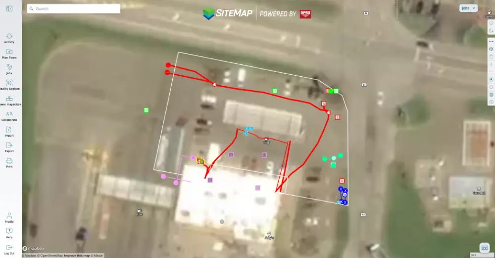
Accurate utility locating data helped ensure the safe and efficient installation of electric vehicle chargers at a service station in Ohio.
GPRS was contracted to locate and map utilities at the station in Cambridge, Ohio prior to the installation of EV chargers.
Project Manager Derrik Clark utilized both electromagnetic (EM) locating and ground penetrating radar (GPR) to locate and map the utilities.
“It's the exact same approach no matter what [the client’s attempting to do],” Clark said. “Because the goal is for them to not hit any existing utilities [when digging] for obvious safety reasons, and then obviously so you’re not interrupting operations or causing anybody to spend money fixing those things. So, for me, there’s never a different approach as to how I’m locating things, regardless of the job type. I find the underground utilities and mark them.”
EM locators detect electromagnetic signals radiating from metallic pipes and cables. These signals can be created by the locator’s transmitter applying current to the pipe, or from current flow in a live electrical cable. They can also result from a conductive pipe acting as an antenna and re-radiating signals from stray electrical fields (detected by the EM locator functioning in Power Mode) and communications transmissions (Radio Mode).

Signals are created by the current flowing from the transmitter which travels along the conductor (line/cable/pipe) and back to the transmitter. The current typically uses a ground to complete the current. A ground stake is used to complete the circuit through the ground.
GPR scanners send radio waves into the ground or a surface such as a concrete slab, then detect the interactions between those signals and any subsurface items such as buried utilities, embedded rebar or post tension cable, or underground storage tanks (USTs).
This data is displayed in a GPR readout as a series of hyperbolas, which vary in size and shape depending on what kind of material as detected. GPRS Project Managers are specially trained to interpret this data to tell you what was located, where it’s located, and its estimated depth underground or within the concrete slab.
Our Project Managers utilize both GPR and EM locating when conducting utility locates because they perfectly complement each other’s strengths and weaknesses.
When locating utilities around the service station in Ohio, Clark leaned primarily on EM locating. This was due to an abundance of aboveground contact points which he could use create a traceable signal, and the fact that the soil consistency and other environmental factors were interfering with his GPR scanner’s ability to penetrate the asphalt and soil.
“Max depth with GPR was very poor at this site,” Clark said. “It was like a foot-and-a-half, so that’s why I primarily used the EM locator. It’s always a combination of GPR and EM locating, but since GPR was limited so much I was more relying on the EM locator and hooking on to any surface features that were there.”

The accurate, actionable utility locating data Clark collected was uploaded into SiteMap® (patent pending), GPRS’ infrastructure mapping, and construction and facilities project management software application designed to help you plan, manage, and build better. Securely accessible 24/7 from any computer, tablet, or smartphone, SiteMap allowed the project team to work around a single source of truth that eliminated the costly and potentially dangerous mistakes so often caused by miscommunication and bad data.
The installer was able to complete their work without striking any buried utilities, ensuring the safety of everyone on-site and the success of their project. Services at the station were able to continue without the disruption that would have occurred due to destructive and expensive potholing to find the buried utilities.
From skyscrapers to sewer lines, GPRS Visualizes The Built World® to keep you on time, on budget, and safe.
What can we help you visualize?
Frequently Asked Questions
What do the utility marking colors mean?
The American Public Works Association (APWA) has established a universal color code to differentiate various utilities:
- Red – Electric power lines, cables, and lighting cables
- Orange – Communication, alarm, signal lines, and fiber optic cables
- Yellow – Gas, oil, steam, petroleum, and other flammable materials
- Green – Sewer and drain lines
- Blue – Potable (drinking) water
- Purple – Reclaimed water, irrigation, and slurry lines
- Pink – Temporary survey markings
- White – Proposed excavation area
What is RTK and why does it matter?
Real-Time Kinematic (RTK) positioning is a high-precision geo-positioning method that uses satellite correction data to achieve centimeter-level accuracy in the right conditions. In utility locating, RTK ensures that mapped utility data is geospatially accurate, enabling precise excavation and long-term asset management.


.svg)