3D Laser Scanning Services in North Dakota

As an architecture, engineering, or construction professional, you understand that projects require a tremendous amount of planning and coordination. GPRS 3D Laser Scanning can deliver accurate as-builts, point clouds, 2D CAD drawings, 3D photogrammetry, and 3D BIM models to expedite project planning and reduce change orders, delays, and costs.

Whether you are a general contractor or facility manager planning renovations or modifications, or an architect or engineer who requires precise project data, GPRS provides accurate existing conditions documentation, reality capture, and scan-to-BIM services to bring your design and construction projects in on time, and on budget.

When you need accurate architectural, structural, and MEP system dimensions, locations, and layouts for design, prefabrication, clash detection, facility modifications, or asset management, call GPRS. 3D laser scanning minimizes shutdowns and disruptions, eliminates the need for site revisits, and provides accurate as-built data to reduce risk and increase project efficiency.
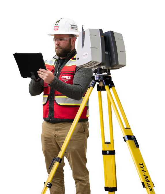
A man in a hard hat holding a tablet.

Bismarck 3D Laser Scanning

612-968-6524laser@gprsinc.com

GPRS Project Managers

GPRS is the leading provider of 3D laser scanning services in North Dakota. Our Project Managers document your site with the Leica ScanStation P-Series and the Leica RTC360 3D laser scanners, capturing up to 2 million data points per second with 2-4 millimeters accuracy. Each Project Manager completes the most extensive training program in the industry, with 80 hours of hands-on classroom training and 320 hours of mentorship in the field, plus another 40 hours of LiDAR training to deliver expertise in 3D laser scanning equipment and field knowledge.

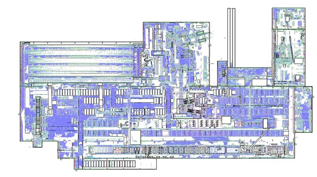
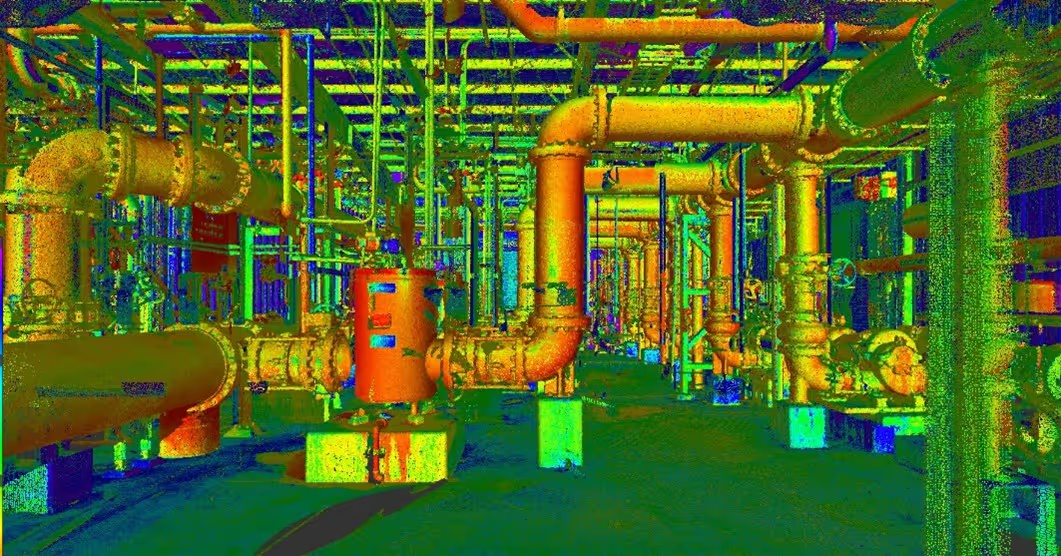
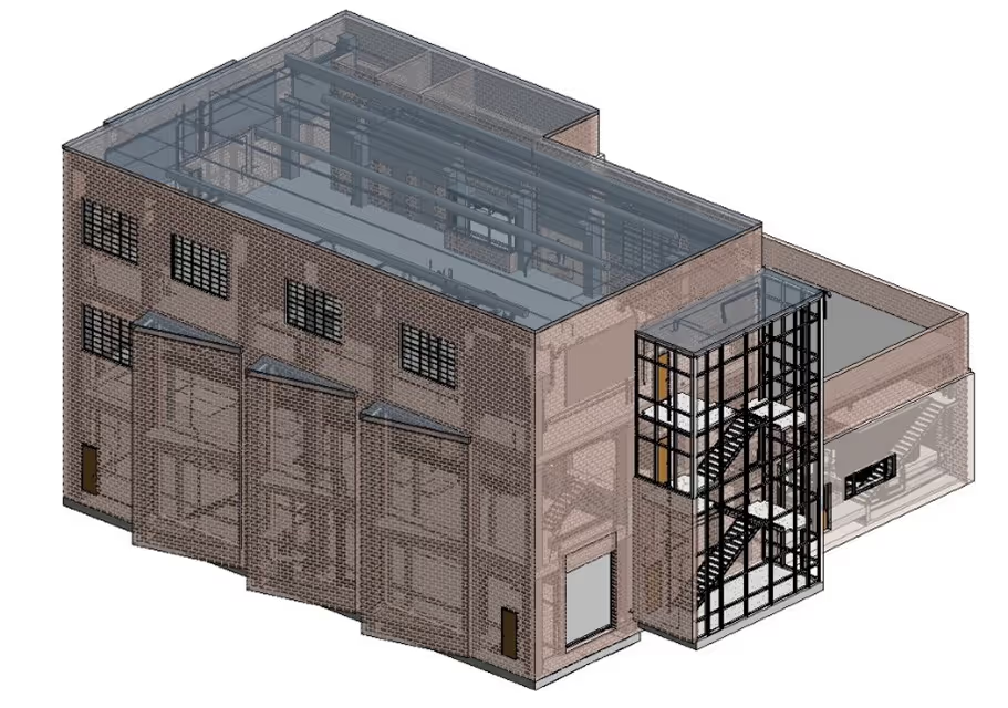
A 3D image of a factory with pipes and valves.A drawing of a road with a red line on it.A 3D drawing of a building with a staircase.

GPRS Mapping & Modeling Team

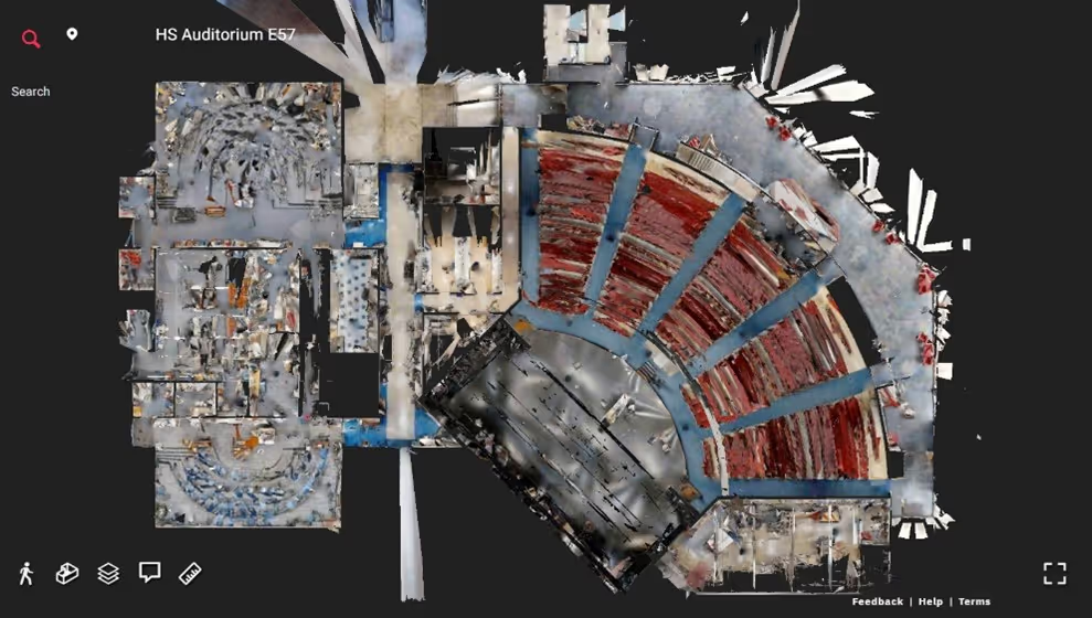
Construction drawings and models streamline planning, visualization, and coordination on your project because they provide a single source of truth for designers, architects, engineers, and contractors. GPRS’ in-house Mapping & Modeling Team can customize as-built data, 2D CAD drawings, 3D BIM models, 3D mesh models, virtual tours via WalkThru 3D, digital twins, floor plans via FLRPLN, and more to ensure you have all the information you need to get the job done right, delivered via GPRS’ SiteMap® digital storage software and app.

Maps and models can be produced at any level of detail in a variety of formats such as Revit, AutoCAD, ReCap, Navisworks, Civil 3D, BIM360, A360, Bentley, Leica Cyclone, Cintoo, and more. We have optimized workflows for importing data, registration, creating deliverables, quality checks, and transferring data to clients.

Not sure what you need? Not a problem. Our experienced Project Managers will work closely with you to define the project scope and use the right equipment and software to accurately map and model your project to accomplish your goals.

WHY CHOOSE US? 

THE GPRS DIFFERENCE.

With GPRS, clients can rest assured that our rigorously trained Project Managers use state-of-the-art technology to deliver the accurate as built information you need to do the job right. GPRS leads the industry to deliver precise as built information to enhance communication and collaboration among your project teams.

GPRS 3D Laser Scanning Services can bring these benefits to your project:

  • Collect up to two million data points per second with the highest-quality survey-grade laser scanners
  • Capture exact dimensions and measurements of your project site
  • Expedite planning and design with accurate as-builts
  • Eliminate site disruption and revisits
  • Receive precise point clouds, 2D drawings, and 3D models to improve collaboration and coordination
  • Tour the location, add digital notes, and even measure with a virtual tour
  • Reduce project risks, change orders, delays, accidents, and costs
GPRS main Logo: Intelligently Visualizing the built world | GPRS

GPRS 3D Laser Scanning Services in North Dakota

A blue and white drawing of a building with a lot of wires.
As-Built Services
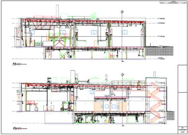
As-built services capture exact architectural, structural, and MEP system dimensions and layout of existing buildings, facilities, and sites, making them invaluable for design, construction, renovations, and modifications.
Learn More
A green and blue image of a factory with pipes and valves.
Point Clouds
3D laser scanners record highly accurate digital measurements of sites and assets in the form of a point cloud and can be used to create 2D CAD drawings and 3D BIM models that improve project workflows, shorten turnaround times, and reduce costs.
Learn More
A 3D model of a building with a staircase.
3D BIM Modeling
Intelligent 3D Building Information Models (BIM) provide contractors, engineers, architects, and facility managers an accurate digital twin of buildings and infrastructure to collaborate on design, construction, and operations.
Learn More
A picture of a building with a red circle in the middle.
3D Photogrammetry
3D rendered images can be used to create virtual tours, floorplans, topographic maps, point clouds, 3D models, and more for planning, analysis, and calculations.
Learn More
A drawing of a building with a red roof and a green roof.
2D CAD Drawings
GPRS can translate 3D laser scan data into 2D CAD drawings that provide your team with up-to-date floor plans, elevations, sections, details, isometric drawings, reflected ceiling plans, and more.
Learn More
A red pipe with a blue wire running through it.
Clash Detection
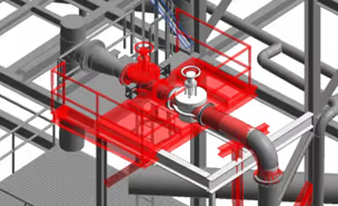
3D laser scanning captures as-built site conditions with 2-4 mm accuracy, helping to identify potential clashes, prefabricate components, and plan a flawless installation.
Learn More
A 3D drawing of a church with a steeple.
Design-Build
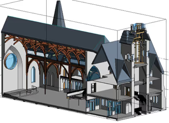
3D laser scanning provides accurate as-built site data to prevent expensive rework by identifying any mistakes early in the design through the construction phase.
Learn More
A stadium seating chart with a red line on the field.
Drone Imagery
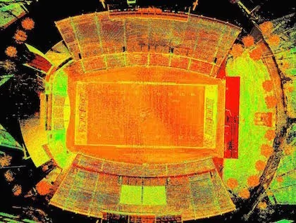
GPRS offers rectified photogrammetry, aerial video and images, LiDAR scans, 2D orthomosaic images, CAD drawings, 3D models, and 3D fly throughs thanks to a wide-range of drone services operated by FAA Licensed pilots.
Learn More

We provide 3D Laser Scanning Services to these North Dakota counties & many more:

  • Cass County
  • Burleigh County
  • Grand Forks County
  • Ward County
  • Williams County
  • Morton County
  • Stark County
  • Stutsman County
  • Richland County
  • McKenzie County

Our portfolio of work includes projects in these North Dakota cities & many more:

  • Fargo, North Dakota
  • Bismarck, North Dakota
  • Grand Forks, North Dakota
  • Minot, North Dakota
  • West Fargo, North Dakota
  • Fayetteville, North Dakota
  • Williston, North Dakota
  • Dickinson, North Dakota
  • Mandon, North Dakota
  • Jamestown, North Dakota
  • Wahpeton, North Dakota

3D Laser Scanning a 59 Acre Wastewater Treatment Plant

GPRS was tasked with 3D laser scanning the existing conditions of this $417 million Wastewater Treatment Plant and producing an LOD 350 Revit model to plan for future expansion.
59 acres and 27 buildings were 3D laser scanned to provide complete as-built documentation of a Colorado Wastewater Treatment Plant. This client is the largest water reclamation provider in the Rocky Mountain West, serving 1.8 million people in a 715 square-mile area. GPRS was tasked with 3D laser scanning the existing conditions of this $417 million facility and producing an LOD 350 Revit model to assist with on-going operations and plan for future expansion.
GPRS was tasked with 3D laser scanning the existing conditions of this $417 million Wastewater Treatment Plant to produce an LOD 350 Revit model to assist with on-going operations and plan for future expansion.
THE BOTTOM LINE GPRS was tasked with 3D laser scanning the existing conditions of this $417 million Wastewater Treatment Plant and producing an LOD 350 Revit model to plan for future expansion. INDUSTRY Wastewater Treatment Plant SERVICE 3D Laser Scanning, Mapping & Modeling LOCATION Denver, Colorado PROJECT APPLICATION GPRS specializes in BIM and VDC management for wastewater treatment plants, utilizing 3D laser scanning technology to create detailed digital models. Task 59 acres and 27 buildings were 3D laser scanned to provide complete as-built documentation of a Colorado Wastewater Treatment Plant. This client is the largest water reclamation provider in the Rocky Mountain West, serving 1.8 million people in a 715 square-mile area. GPRS was tasked with 3D laser scanning the existing conditions of this $417 million facility and producing an LOD 350 Revit model to assist with on-going operations and plan for future expansion. PROBLEM The client needed the fastest way to document 59 acres and 27 buildings with the highest level of quality. Each building was unique and needed to be documented and modeled to plan for expansion, including pumping stations, sludge digester, thickener, tank reclamation, purification systems, aeration, primary and secondary settling, maintenance facilities and visitor center. The client had their own laser scanner, but did not have the manpower and resources to complete the project timely. Solution GPRS has a highly integrated and highly motivated team of laser scanning professionals. 59 acres of campus was 3D laser scanned in a 4-month period, sometimes with up to 10 Project Managers on site at one time. GPRS Project Managers captured 2,990 color scans and an in-house team of engineers produced an LOD 350 Revit model of the interior and exterior of 27 buildings of a 59 Acre Wastewater Treatment Plant including architectural and structural details, MEP and process piping ½" and above, valves, flanges, equipment detail and location, stairwells, railings, closets, restrooms and janitor rooms. The client also requested EdgeWise files, so the GPRS Mapping & Modeling Team modeled all piping, valves, flanges, ducts, conduit and framing and organized it in layers in accordance with the client’s naming conventions for location, plant process and material specifications. The client also used the BIM model to determine if the existing drawings reflected actual site conditions. Benefits 3D laser scanning enables clients to add, modify, validate and document their design digitally. 3D laser scanning allowed the plant to have a full scope of the existing conditions before renovations were made to the facility.
All
3D Laser Scanning
Mapping & Modeling

Accurate PT Cable Layout Critical to Construction

GPRS’ detailed 2D CAD drawings and 3D BIM model allow for safe cutting, coring & drilling for building-wide MEP and HVAC installations.
GPRS located and marked the full post-tension cable system layout for 12 floors of a 49-floor building, with approximately 12,500 sq. ft. of concrete on each floor. After concrete scanning was completed with ground penetrating radar technology, GPRS 3D laser scanned each floor to produce 2D CAD drawings and a 3D BIM model for virtual design and construction. The architect received a permanent record of the post-tension cable layout to complete fit and finish design plans for the building.
Mapping the PT cable layout in concrete slabs facilitates design and minimizes the risk of injuries and delays.
GPRS’ detailed 2D CAD drawings and 3D BIM model allow for safe cutting, coring & drilling for building-wide MEP and HVAC installations. Construction Concrete Scanning, 3D Laser Scanning & 3D BIM Modeling Concrete scanning services will locate critical targets like post tension cables, rebar, conduits, voids, and more to help keep your project on time, on budget, and safe. 3D laser scanning captures concrete markings with 2-4mm accuracy for GPRS to transform into custom 2D CAD drawings and 3D BIM models. GPRS located and marked the full post-tension cable system layout for 12 floors of a 49-floor building, with approximately 12,500 sq. ft. of concrete on each floor. After concrete scanning was completed with ground penetrating radar technology, GPRS 3D laser scanned each floor to produce 2D CAD drawings and a 3D BIM model for virtual design and construction. The architect received a permanent record of the post-tension cable layout to complete fit and finish design plans for the building. Post-tension cable location, spacing, and depth are determined by an engineer, are specific to each project, and must be traced in short distances to reveal the slope. Each tendon pulls 24,000 to 33,000 lbs. of pressure. Damaging a cable when cutting, coring, or drilling into a slab can cause a tendon to burst with enough force to cause severe injury or death, and impact the structural integrity of the slab. Replacing a single post-tension cable costs $10,000 - $20,000. Experienced Project Managers used ground penetrating radar (GPR) technology to locate and mark the precise details of each concrete reinforcement, documenting the location, number of cables, and depth directly on the slab and ceiling. After the post-tension layout was complete, each floor was 3D laser scanned to capture the field markings. That data was used to create a virtual tour, 2D CAD drawings (PT site layout and floor contours,) and a complete 3D BIM model of the site. The captured point cloud data was aligned to survey control, then to the client’s design model, further ensuring the accuracy of the data. GPRS has a verified 99.8% accuracy rate for concrete scanning, backed by our Green Box Guarantee. Laser scanning is accurate within 2-4mm. An accurate layout of post-tension cables protects tendons from damage, prevents injury and mistakes, and protects the integrity of the building. 2D plan sheets and a 2D floor contour map documenting the actual floor elevation added even more accuracy to the depth of cover that is field marked. The 3D BIM model provided the architect data to plan fit and finish designs and coordinate with contractors and MEP trades before build-out.
All
3D Laser Scanning
3D Laser Scanning
Mapping & Modeling
Concrete Scanning

Vanderbilt University's Legends Golf Club Expansion & Renovation Relied on GPRS 3D Laser Scanning Services

The 17,000 s.f. golf club, including pro shop, locker rooms, and restaurant areas were all 3D scanned in a single day with minimal operational interruption to provide 1/4" accurate structural & architectural models
GPRS 3D Laser Scanning provides existing conditions documentation to Vanderbilt University's Legends Golf Club
Vanderbilt Legends Golf Club renovations aimed for "elite facility" status, aided by GPRS 3D Laser Scanning and Mapping & Modeling Services
Vanderbilt University planned an expansion and renovations of its Legends Golf Club to propel it to "elite facility" statusThe architect on the project needed accurate existing conditions documentation to develop a design plan and solicit bids from construction companiesThe club management required that any work be completed with minimal operational interference GPRS 3D laser scanned the two-story, 17,000 s.f. clubhouse in one day with the Leica RTC360An intensity map point cloud file, 2D CAD drawings, and a Revit 3D model were all delivered to the architect via GPRS Mapping & Modeling TeamDocumenting architectural elements, such as the building envelope, walls, windows, doors, ceilings, exposed columns, beams, and posts with 2-4mm accuracy was critical to the renovation effort Capturing real-time existing conditions prior to designing the expansion & renovation reduced reworks, waste, and mistakesThe 1/4" accuracy provided by the architectural and structural model allowed for extremely detailed plans to be delivered to the contractorThe building renovations created a state-of-the-art facility for the team, the membership, and to aid in recruitment efforts
All
3D Laser Scanning
Floor Plan Creation
Virtual Tours
3D Laser Scanning
Mapping & Modeling

We Have Two Ways To Request An Online Quote:

  1. If you are familiar with Laser Scanning, fill out the form below
  2. If you are new to Laser Scanning, click here for more detailed prompts

GPRS
INTELLIGENTLY VISUALIZING THE BUILT WORLD®