

.svg)

Highlights
THE BOTTOM LINE
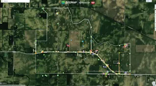
The combination of high-speed GPR and traditional scanning provided a clear picture of 530 acres of buried drainage lines in just 46 days
Industry
Telecommunications, Power, Water, Wastewater
Service
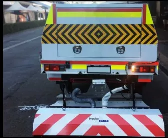
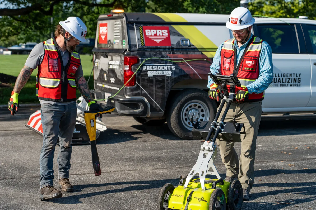
High-Speed GPR and Traditional Utility Locating, Utility Maps
Location
GPRS Project Manager Insight
Deliverables
Site markings, Job Services Report, layered digital utility map in SiteMap
PROJECT APPLICATION
ASK
Task
Provide comprehensive drain line mapping for 1,500 acres of land in the Midwest for new data center construction
PROBLEM
- The client needed accurate utility location and mapping of existing drainage lines to effectively plan construction on their 1,500-acre site
- Planning & design required the immediate location of key drain lines over a 30-acre area with an additional 500 acres of drain lines mapped at minimum prior to construction
- Much of the site was open land with few aboveground facility markers
Solution
- A GPRS team including the estimator and the Senior V.P. of Field Support devised a multi-phase solution that would be comprehensive, cost effective, and fast: A multi-phased, dual application approach utilizing traditional GPR and a high-speed GPR array
- In just 46 days, two Project Managers mapped 530 acres:
- Phase I: 30 acres of GPR & high-speed GPR array use to target key drain lines
- Phase II: 500 acres of GPR & high-speed GPR array use to find and map drain lines
- Additional phases may include scaling the high-speed array scanning over the remaining 1,500-acres
- Phase I: 30 acres of GPR & high-speed GPR array use to target key drain lines
Benefits
- The project planning and construction can proceed, building any additional drainage around the existing subsurface infrastructure
- The remaining 1,000 acres can be covered more easily based on Phase I and Phase II findings
- Should the client elect for a comprehensive full site locate, the initial drainage phases will speed those results
CASE STUDY GALLERY
No items found.

.avif)


.avif)

