
Highlights
THE BOTTOM LINE
GPRS Utility Locating Services helped ensure the safety and success of soil borings for a C&I solar installation.
INDUSTRY
SERVICE
Utility Locating
LOCATION
North Carolina
GPRS Insight
Deliverables
PROJECT APPLICATION
ASK
Task
Locate utilities around proposed soil boring locations at a facility prior to the installation of solar panels.
PROBLEM
- A large manufacturing facility in North Carolina was looking to install solar panels and related infrastructure on their property
- Soil borings were going to be taken at the proposed site, and the contractor needed to know where they could and couldn’t safely break ground
- Facility personnel believed there were multiple buried utilities within the project area, but had no accurate, up-to-date maps of this infrastructure
Solution
- A GPRS Project Manager deployed an electromagnetic (EM) locator in tandem with ground penetrating radar (GPR) scanning to investigate the proposed soil boring locations for buried utilities
- The Project Manager marked out the located utilities on the ground with spray paint
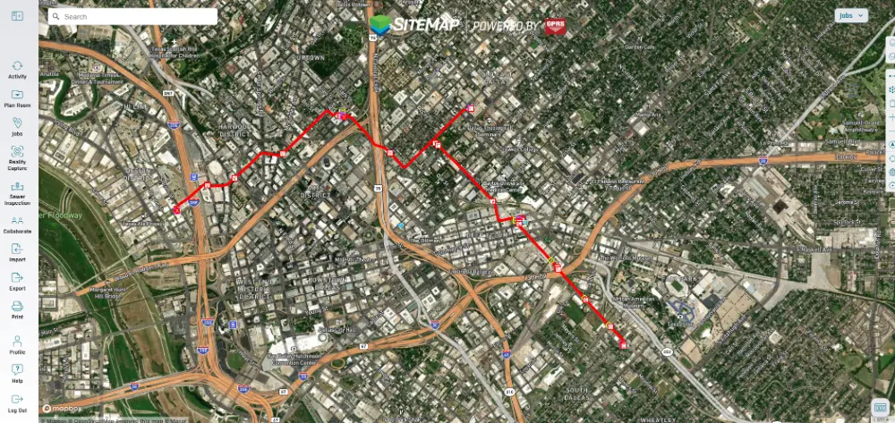
- He also geolocated the data and uploaded it into SiteMap® (patent pending), GPRS infrastructure mapping, and facilities and construction project management software application
Benefits
- The accurate data obtained by GPRS revealed there were no utilities within the proposed soil boring locations
- The contractor was able to complete their work safely and without disrupting services to the facility
- The SiteMap data will be available to the facility and its partners for any future O&M
CASE STUDY GALLERY
No items found.


.svg)


.avif)