

.svg)

Highlights
THE BOTTOM LINE
GPRS’ 99.8% accurate underground utility scanning services provided a hospital with the information they needed to safely reroute or cap the underground utilities without interfering with operations.
Industry
Service
Utility Locating
Location
Los Angeles, CA
GPRS Project Manager Insight
Deliverables
PROJECT APPLICATION
ASK
Task
Locate & map all utilities within a hospital parking lot & right of way to give the client a current look at their underground utilities and tie ins
PROBLEM
- The client needed to know the location of their underground utilities so they could reroute or cap them as needed
- The hospital had recently installed solar panels in the area, so they needed to make sure the underground wires weren’t affected by the existing utilities
Solution
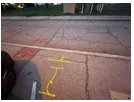
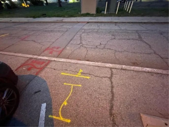
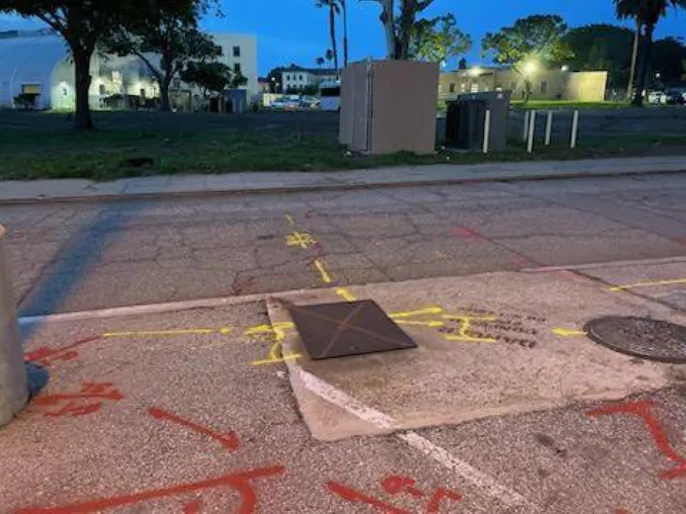
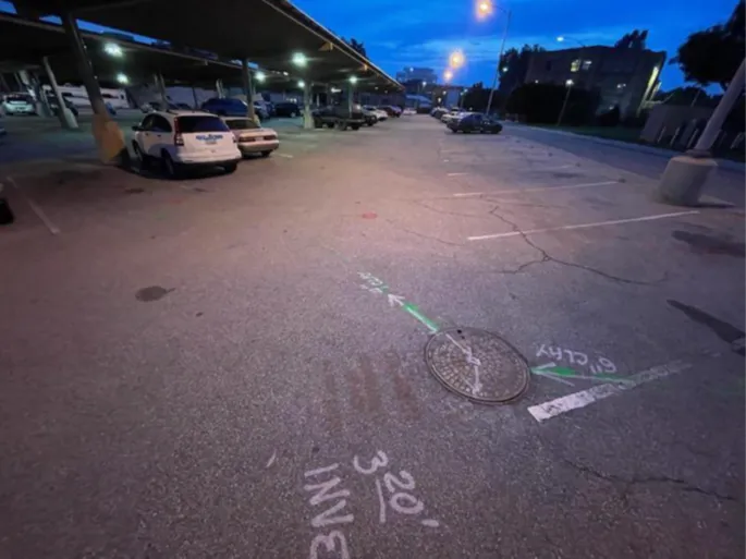
- GPRS Project Managers located & mapped all underground utilities in the designated areas by utilizing ground penetrating radar (GPR) and electromagnetic (EM) locators
- They found more utilities than the client expected, so the scope of work expanded to nearby right-of-ways to ensure the client knew where the utilities were tied in
- GPRS’ findings were uploaded to SiteMap® (patent pending) for the client to reference as they proceed in the project life cycle
Benefits
- With the location of all their underground utilities at their fingertips, the client could make effective and resourceful decisions on how to proceed with their project
- Knowing the precise location of the utilities and tie-ins lessens the risk of a utility strike which could impact the hospital’s important daily operations
CASE STUDY GALLERY
No items found.
.webp)


.avif)
