

.svg)
Seamless Site & Facility Information Control:
No Uploads, No Learning Curve, No Hassle
Welcome to SiteMap® by GPRS – the simplest, most intuitive way to visualize your facility infrastructure and subsurface data anytime, anywhere.
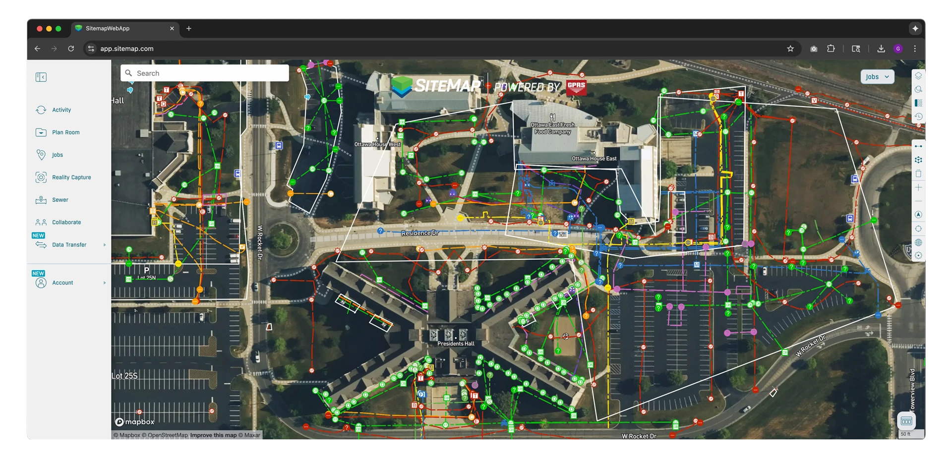
GPRS' GIS Platform - SiteMap
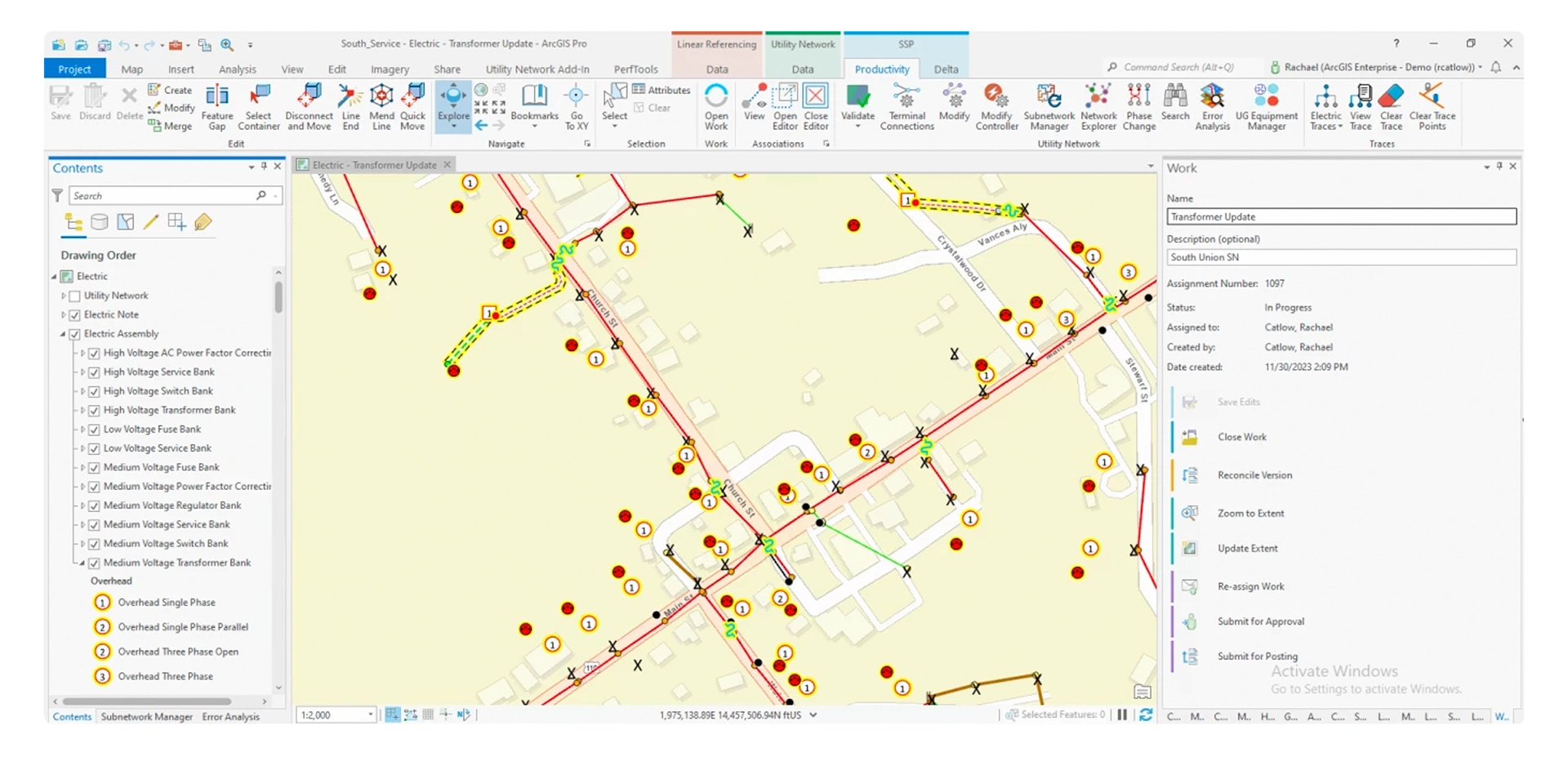
Traditional GIS Systems
What does SiteMap have that the world’s most popular GIS system lacks?
Seamless & secure 24/7 facilities infrastructure visualization from anywhere
We give you full geographic information system and location mapping software in one simple digital geospatial tool.
.webp)
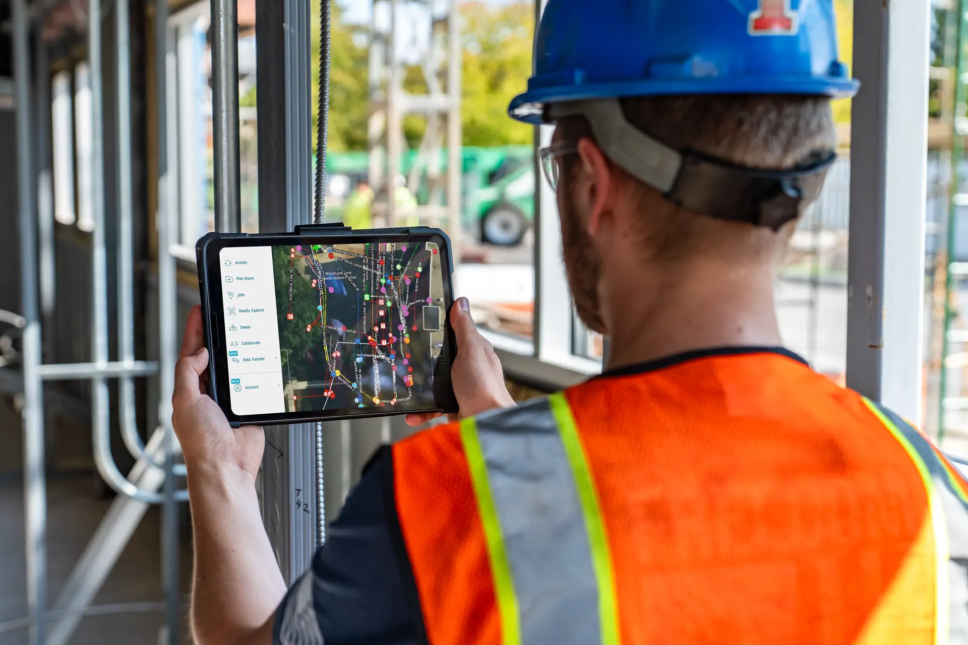
An intuitive user interface anyone can use in minutes
The average user can be up and running in under 15 minutes with no specialized training required.

Cloud-based software with no personnel or IT resource drain
SiteMap is GIS & digital mapping software you can use for site location and project planning, workflows, and communications – where you control it all.
accurate, actionable information
GPRS uploads all our professionally captured utility, concrete, sewer, reality capture, water loss, and other information for you – geolocated, layered, sharable, customizable, and interactive.
Your information is in your hand anytime, anywhere, at the touch of a button.

With SiteMap and GPRS you get the perfect marriage of form and function
Live, boots-on-the-ground experts capturing your subsurface and structural infrastructure with the highest level of accuracy.
And all of that data – the information you need to plan, build, and manage better – at your fingertips in SiteMap.
Want to upload drone imagery, historical records, and CAD drawings, and have the ability to version and annotate your records? Because GPRS & SiteMap can do all of that too.
What Our Customers Say
Hunt Moss - Lazaro Diaz Testimonial
Brasfield & Gorie - Jonathan Harris Testimony
University of Toledo - Dan Perry Testimonial
SiteMap Customer - Vincente Testimony
The Reality of As-Built Accuracy
$56,000
60-90 Days
67%
80%
*From Finch’s 2021 FM Industry Survey of Facilities Managers
///FREQUENTLY ASKED QUESTIONs
SiteMap is designed with data quality and portability in mind, so whether you utilize it as a stand-alone infrastructure information & deliverables system, or want to ensure the most accurate above and below-ground data quality for your existing geodatabase, SiteMap delivers.
Yes, you can! SiteMap offers data portability for shapefiles, utility maps, Revit models, CAD drawings, NASSCO WinCan Web reporting,water loss surveys, walkthrough/flythrough tours, progressive constructioncapture, and more to ensure the highest quality information is available inyour ArcGIS, Esri Workflow, or other platform of choice.
There are two main differences between ArcGis and SiteMap:
- Quality Control: Your database is only as accurate as the data you build it on. In Esri platforms, you are responsible for ensuring the accuracy and timeliness of your data. SiteMap comes to you loaded with your highly accurate, GPRS-captured utility maps, CAD drawings, sewer conditions assessments, BIM models, and more, all accessible inside the application. If you need accurate site and facility data, just order it from GPRS, and your deliverables will be uploaded to SiteMap for you.
- Ease of Use: Many organizations have an entire team responsible for maintaining their Esri database because it requires a good deal of specialized training to use effectively. SiteMap offers a simple, intuitive UI that just about anyone can use in under 15 minutes to export, print, share, measure, and fully utilize your data to visualize your built world, aboveground and below.
SiteMap is GPRS’ first-of-its-kind GIS as-built and deliverables management system, and every GPRS customer receives complimentary SiteMap Personal access. And, if you are a dedicated ESRI/ArcGIS user, SiteMap offers full data portability, so you can export your accurate GPRS as-builts into your platform of choice.