

.svg)
Welcome To SiteMap 360
The Most Important Tool for Your Project – The Right Information
Schedule Service-(1).webp)
All Your Projects. One Powerful Platform.
SiteMap 360 is an exclusive GPRS SiteMap agreement that gives each user on your team “super-user” access to your project portfolio.

And the value of having all your project data at your team’s fingertips 24/7.
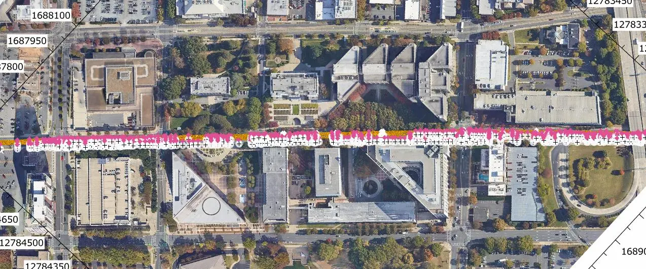
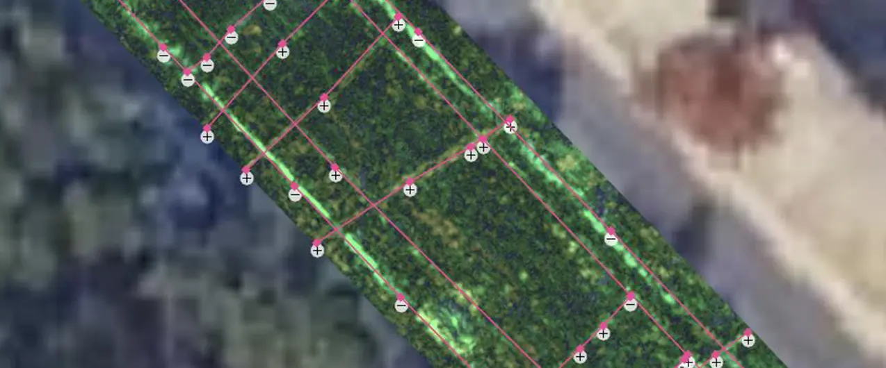
All Your Accurate As-Builts, Aboveground & Below in One Secure, Single Source of Truth
Export, print, or share all your digital GPRS as-builts, aboveground and below, to give your team the most important tool they need to get the job done – the right information.
Advantages for Subsurface Utility Engineers & Engineering Firms
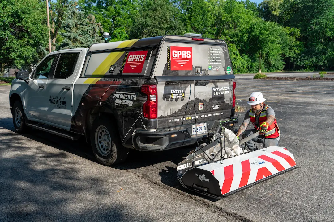
Subsurface utility engineers and engineering firms performing infrastructure design work can use high-speed roadway GPR scans to supplement their existing S.U.E. Level D & Level C survey data and 811 public/registered utility locates for a more comprehensive picture of their buried systems. GPRS can provide you with anything from raw data to CAD drawings, to full subsurface 3D BIM models, depending on your needs.
Why Teams Choose SiteMap
Here’s what our clients say about using SiteMap for accurate utility data and job site planning.
Hunt Moss
.webp)
Brasfield & Gorrie, LLC
.webp)
The University of Toledo
Experience Your Site in a New Way
Tell us more about your facility, and we will show you what SiteMap can do for you.