

.svg)
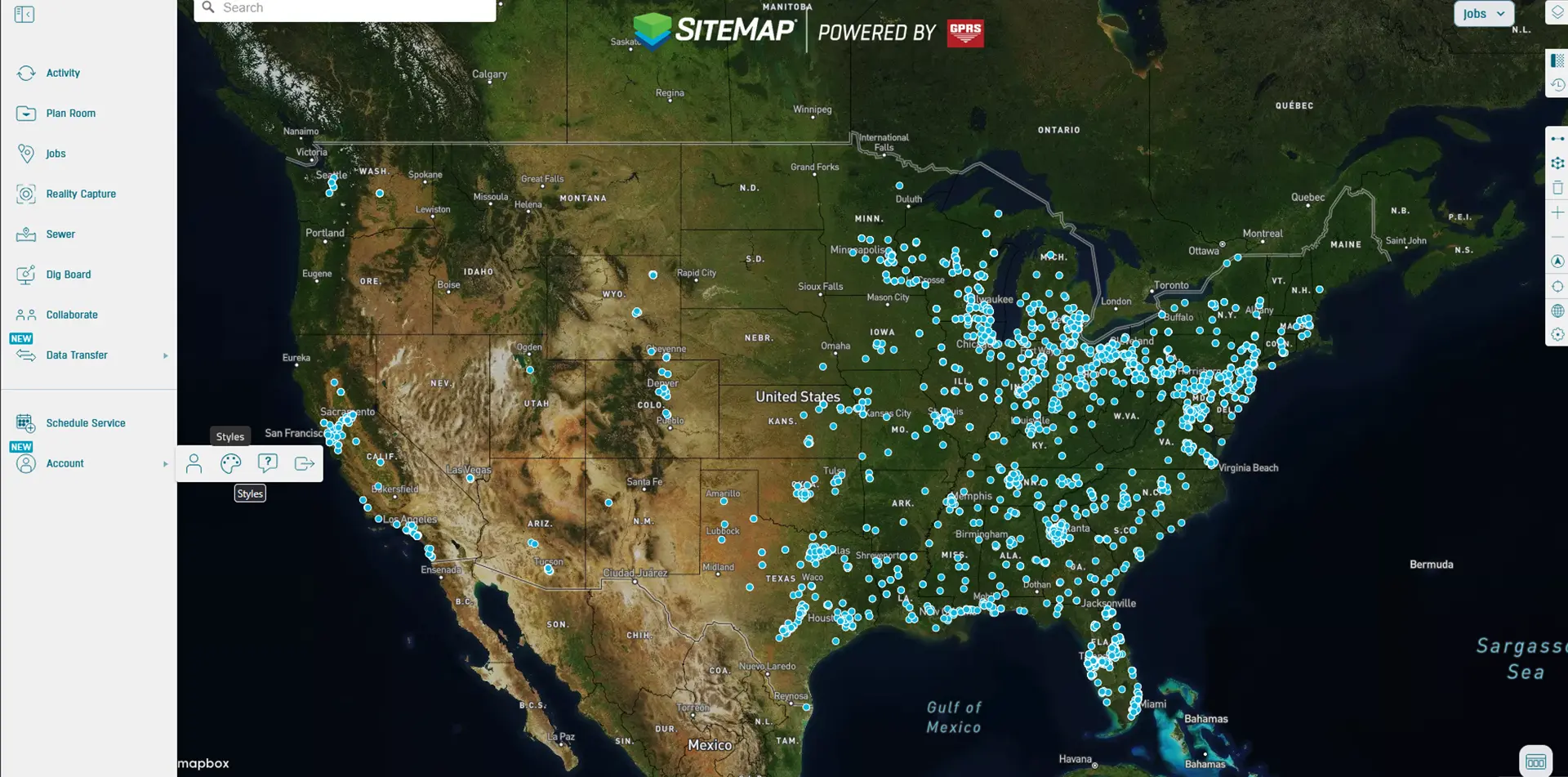
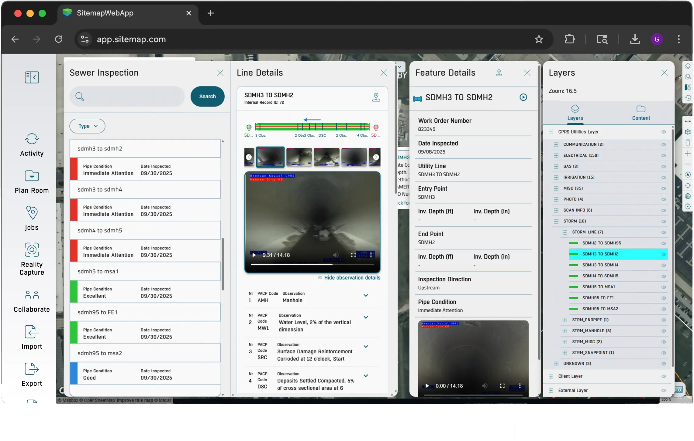
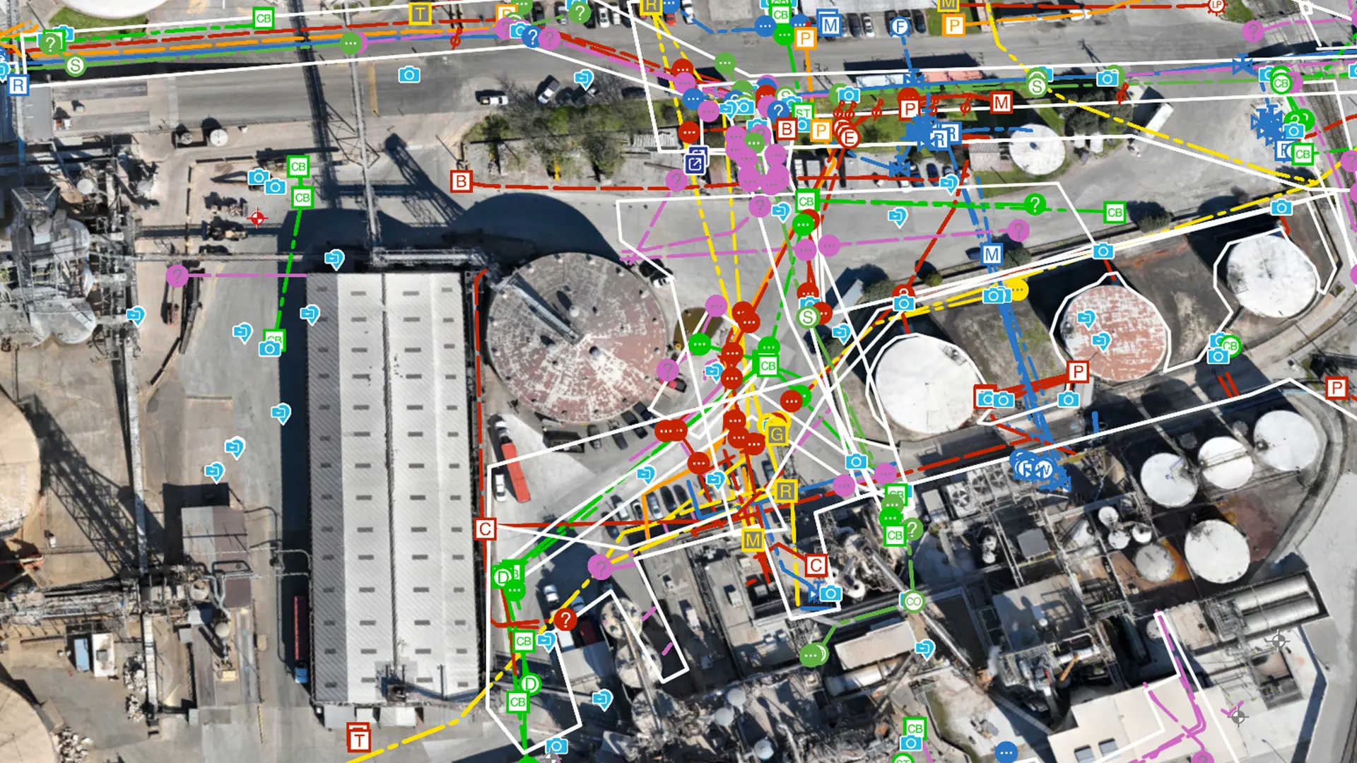
Everything You Need in One Platform
Centralize utility maps, CAD drawings, BIM models, and NASSCO reports in one GIS platform to improve safety, reduce costs, and plan with confidence.

Augmented Reality
Walk your jobsite and use your phone to see underground utilities and pipe flow appear exactly where they are in real time.
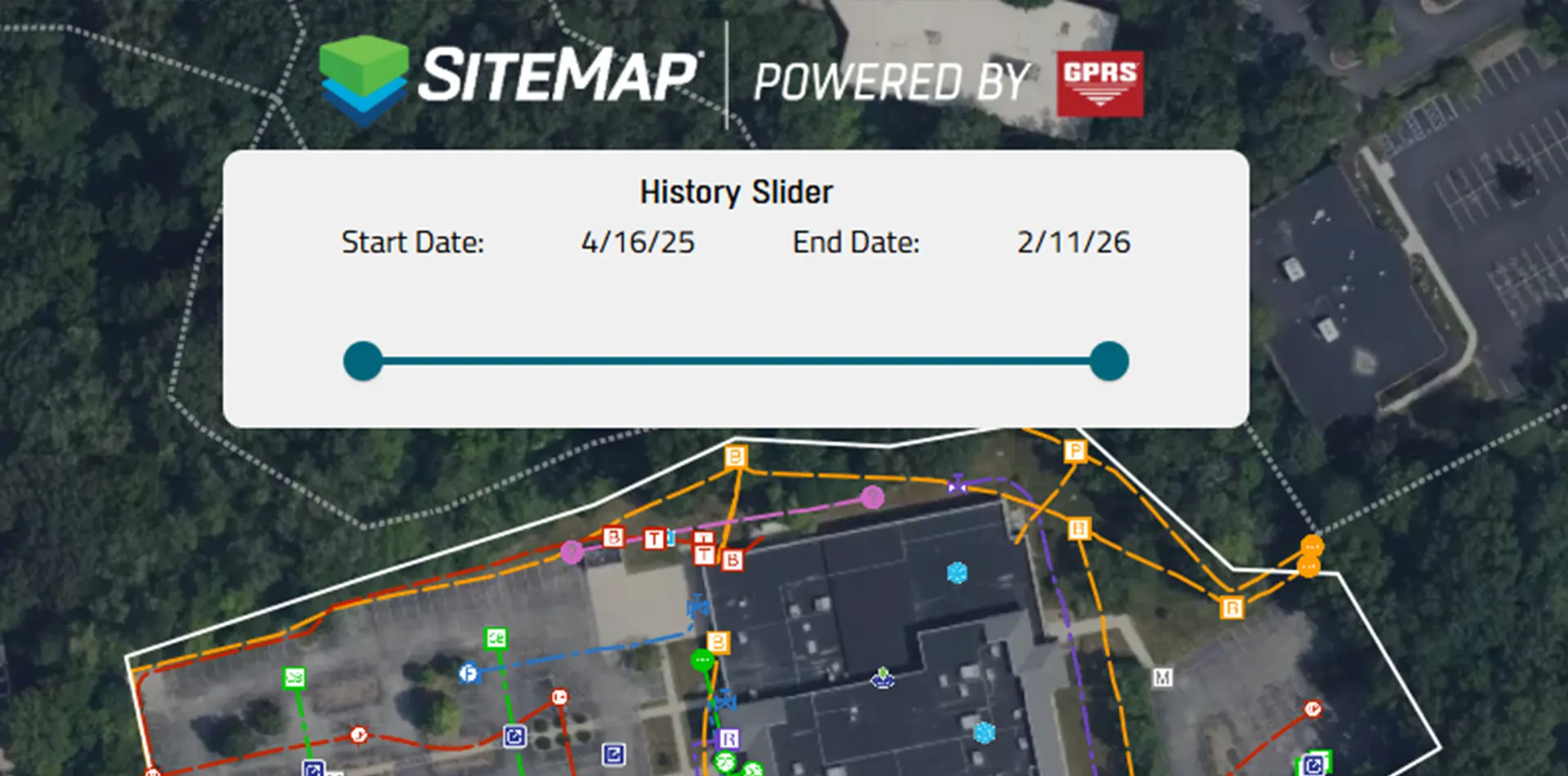
My Dig Board
A digital jobsite blueprint for clear, consistent communication on excavation paths, placements, and priorities.
.webp)
Customer Self‑Service Form
Request additional services in SiteMap, so your team gets what they need without the back and forth.
.webp)
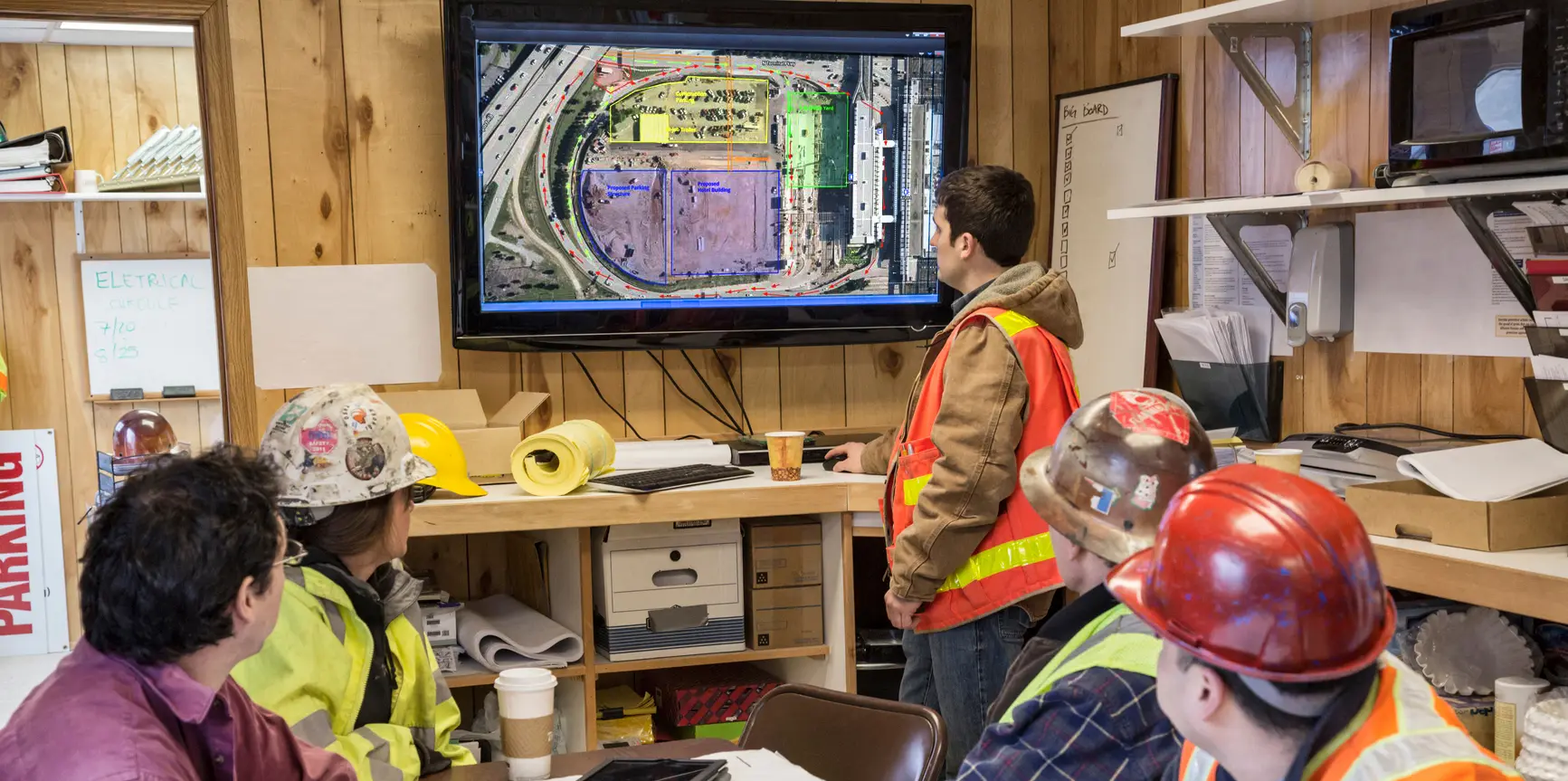
Why Teams Choose SiteMap
Here’s what our clients say about using SiteMap for accurate utility data and job site planning.
Hunt Moss
.webp)
Brasfield & Gorrie, LLC
.webp)
The University of Toledo
-(1).webp)
Above, Below, & Beyond
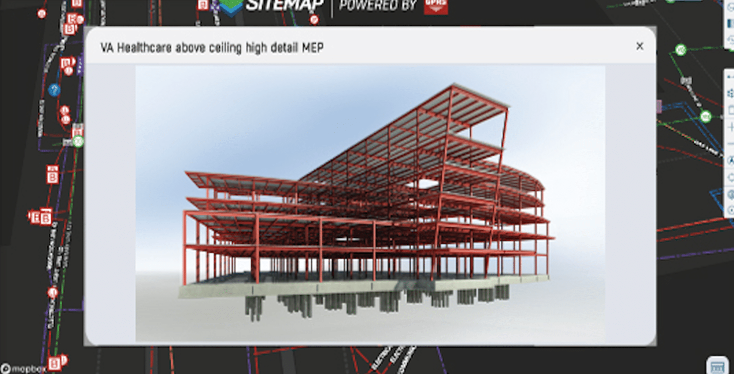
Centralize your utility maps, BIM models, digital twin enhancements, and project data in one GIS platform. Provide your team with clear details to enhance safety, reduce costs, and enable you to plan, build, and manage, better.

Experience Your Site in a New Way
Tell us more about your facility, and we will show you what SiteMap can do for you.