Concrete Scanning You Can Trust

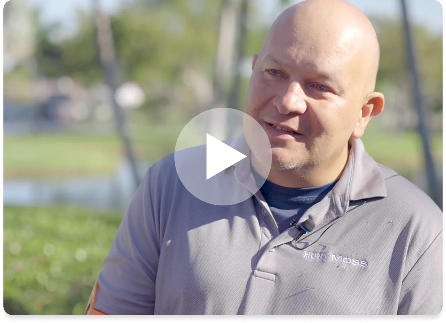
99.8% Accurate Concrete Scanning with GPRS

See what’s inside your concrete slab before you cut, core, or drill, with GPRS.

Concrete slabs can hide important elements. Hitting something you can't see can threaten your schedule, budget, and crew.

GPRS concrete scanning shows you what is underneath the concrete before you cut, core, or drill. When we mark an area as clear, it's backed by our Green Box Guarantee. This means that we guarantee the spot is free of obstructions. Combined with our 99.8% accuracy rate, you can move forward with confidence, avoid strikes, and keep your jobsite safe.

Why Construction Teams Choose GPRS

Eliminate hidden hazards inside concrete to protect crews and equipment while avoiding unexpected downtime.

Mapping software interface displaying a satellite view of a wooded area with colored utility lines, alongside a panel showing editable line style options.
Rebar Locating
Avoid damaging structural reinforcement when cutting or coring concrete.
Map of the United States with numerous blue points marking locations. A sidebar from the mapping platform is visible on the left.
Post Tension Cable Mapping
Protect your crew and structure from high risk post tension strikes.
Utility map with colored lines and icons over an aerial image of a site. A slider tool labeled “History Slider” allows choosing start and end dates to compare past site data.
Conduit Mapping
Prevent electrical strikes by knowing exactly where the conduit is buried.
Video pipe inspection deliverables displayed in sitmap, a digital GIS platform, where users can view sewer line inspection video, camera direction, and detailed inspection data for underground utilities.
Concrete Thickness Verification
Confirm slab thickness so you can drill, anchor, or core with confidence.
Mapping software interface displaying a satellite view of a wooded area with colored utility lines, alongside a panel showing editable line style options.
Slab on Grade Scanning
Identify what is inside and beneath concreteslab‑on‑grade before work begins.
3D laser scanning facility model displayed in sitmap, a digital GIS platform, showing a building exterior and interior layout where users can view their 3D laser scanning facility in the platform with multiple views.
Shallow Utility Locating
Avoid underground utility hits that cause delays, repairs, and safety risks.

Case Studies

Concrete Scanning Success Stories from the Field

Experience Your Site in a New Way

Tell us more about your facility, and we will show you what SiteMap can do for you.