

.svg)

Highlights
THE BOTTOM LINE
GPRS deployed multiple forms of subsurface investigation technology to mitigate the risk of utility strikes during a soil boring project.
Industry
Service
Location
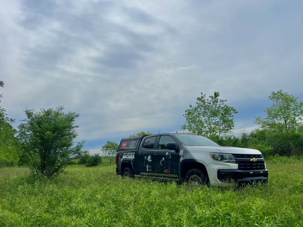
Mercer, Pennsylvania
GPRS Project Manager Insight
Deliverables
PROJECT APPLICATION
ASK
Task
Locate and map utilities to clear the planned locations of 19 soil borings.
PROBLEM
- The client needed to take soil borings at 19 locations across 130 acres of wooded, hilly environment as part of their construction planning
- They needed to know there were no buried utilities near these locations – striking one could derail the project’s schedule and budget, cause service interruptions to nearby residents, and endanger workers
- The dense undergrowth and uneven terrain made locating utilities in the area exceptionally challenging
Solution
- GPRS deployed two Project Managers who used electromagnetic (EM) locating in conjunction with their GPR scanners to verify the location of utilities around the soil boring locations
- The Project Managers completed their work in five hours on site
- The accurate, field-verified data GPRS collected was uploaded into SiteMap® (patent pending), GPRS’ infrastructure mapping software application
Benefits
- The client had the accurate infrastructure data they needed to conduct their soil borings safely and without risk of subsurface damage
- GPRS’ ability to rapidly deploy two Project Managers to the project ensured the client could stay on time, on budget, and safe
- Located & mapped utility data available generally within minutes of job completion thanks to SiteMap
CASE STUDY GALLERY

No items found.
.webp)


.avif)