

.svg)

Highlights
THE BOTTOM LINE
GPRS provided an apartment complex with updated maps of all underground sewer and sanitary lines, along with a NASSCO-certified report on all blocked, defective, or obstructed pipes, so the client can effectively plan repairs & maintenance.
Industry
Service
Video Pipe Inspection
Location
Tulsa, Oklahoma
GPRS Project Manager Insight
Deliverables
PROJECT APPLICATION
ASK
Task
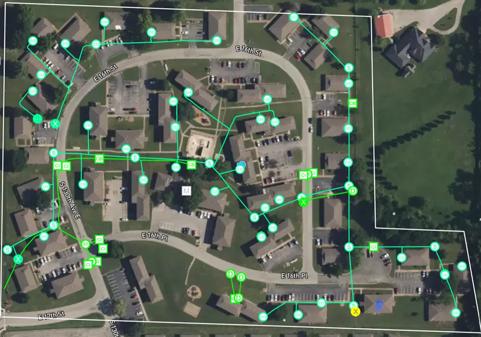
Scan and locate all underground sanitary and sewer lines to show their current conditions and create a map of existing pipelines
PROBLEM
- The client had no existing plans, so they needed a comprehensive map of their storm and sanitary sewer systems
Solution
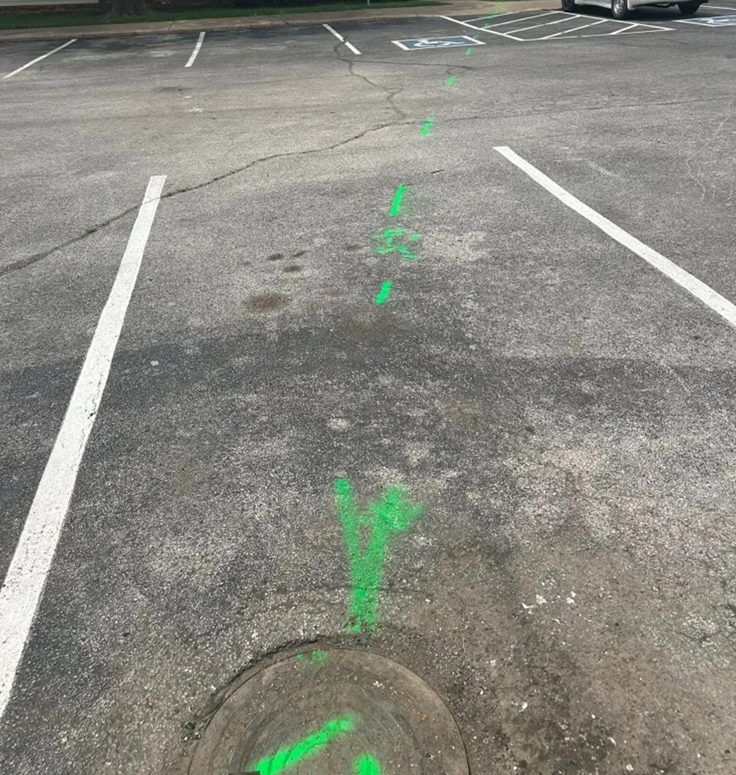
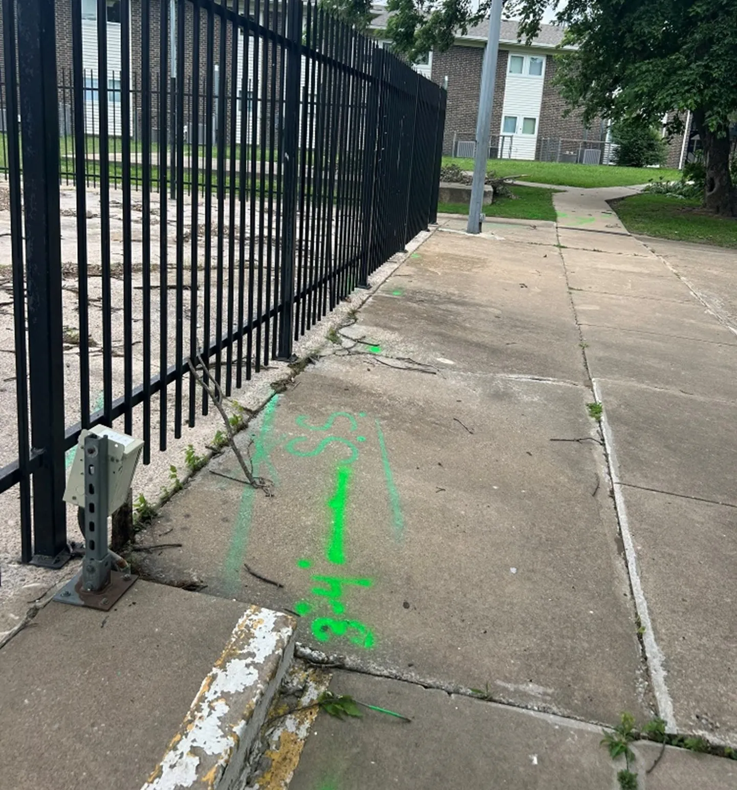
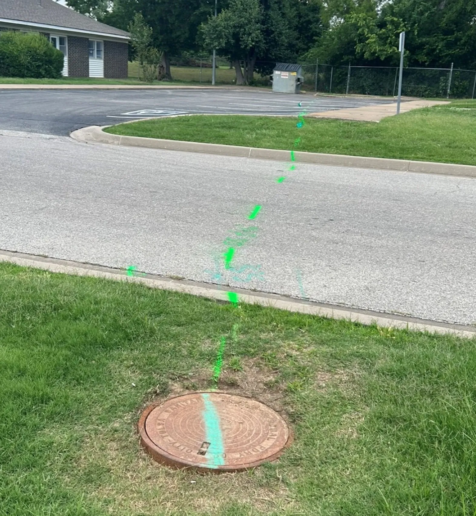
- GPRS utilized the ROVVER X Mainline Crawler, ROVVER X SAT Lateral Launch Camera, and video push cameras to capture detailed photo and video evidence of the current conditions of the sewer and sanitary lines
- A NASSCO-certified VPI report was created detailing the condition of the pipes and ranking any defects by severity
- The data collected was uploaded to SiteMap®, GPRS’ cloud-based infrastructure software, creating a digital map of the client’s underground sanitary and sewer lines
Benefits
- The client can now reference GPRS’ findings from anywhere, 24/7, for any future renovation or restoration projects via SiteMap
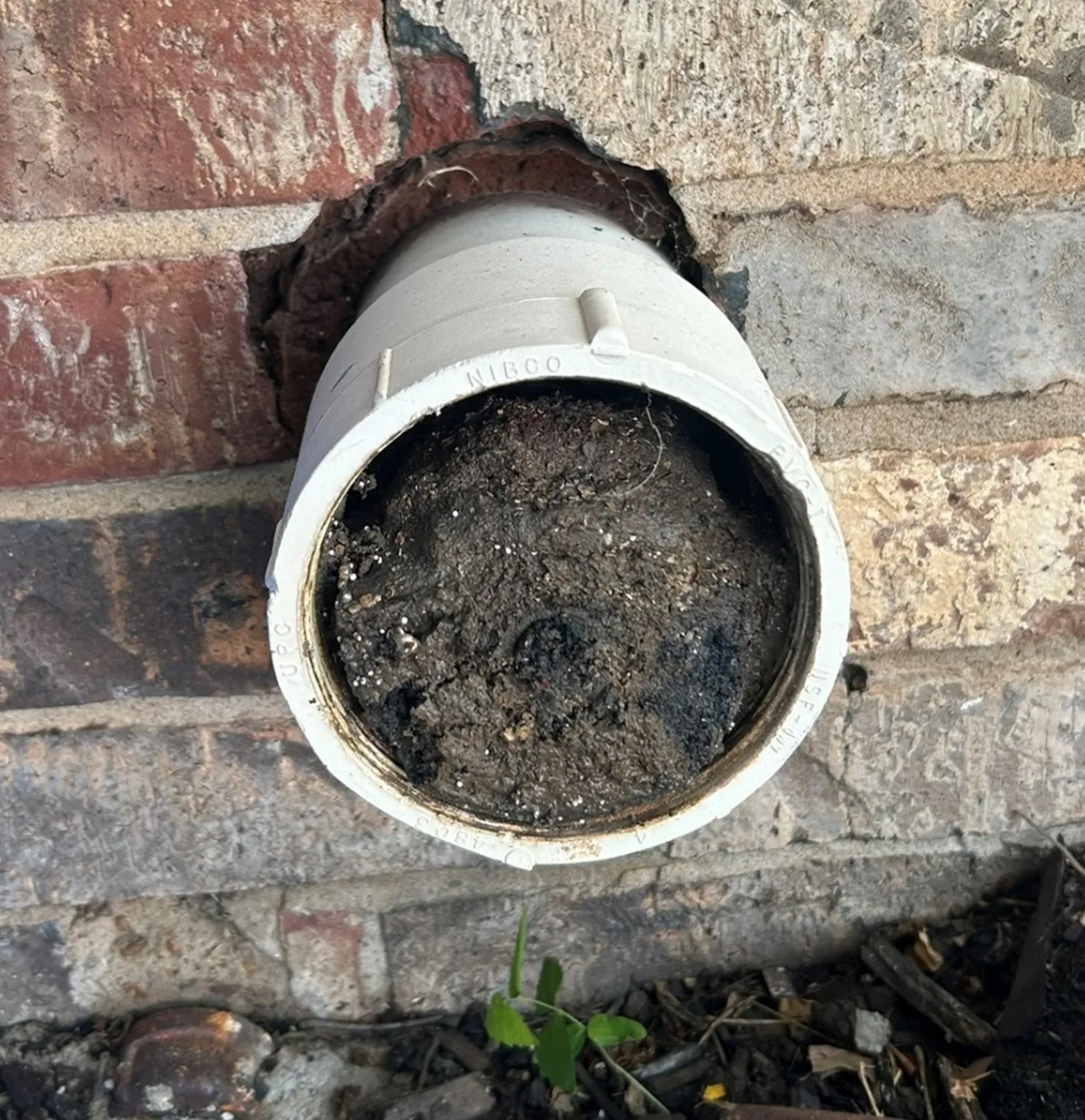
- Some issues were discovered that the client had no knowledge of,
- Issues were discovered like some of the external clean outs being full of dirt, so now they can take the necessary steps to remedy the situations
CASE STUDY GALLERY


No items found.


.avif)
.avif)


.avif)