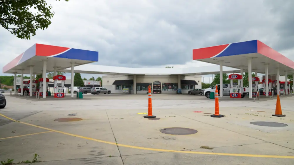
From soda fountains to gas pumps, Rebekah Davies is responsible for ensuring a frictionless experience anytime you visit a BP gas station in the San Francisco Bay Area.
As a Site Maintenance Supervisor, Davies oversees every aspect of her stations’ operations outside of the employees.

“Anything that’s a capital expense, including plumbing, fuel dispensers, parking lots, the Veeder-Root which makes the tanks run,” she said. “And there are a couple little carve-outs beyond that: the fountain machines that get your soda, the registers that allow you transactions, the car washes. All of that is on me to maintain.”
It’s also Davies’ responsibility to ensure that when excavation occurs at or near one of her stations, it’s conducted safely. BP requires its sites to hire a professional utility locating company to map and mark out buried utilities, underground storage tanks (USTs) and any other subsurface obstructions prior to any excavations penetrating deeper than three inches into the earth.
“And just to make sure we’re covered, we [have] the whole site [marked],” Davies said.

Striking a buried utility while excavating can have devastating consequences – and hitting something underneath a gas station can be even worse. While calling 811 is the first step you should always take to avoid subsurface damage when planning an excavation project, it’s important to remember that not every buried utility belongs to a provider registered with 811 – meaning they won’t know it’s there until you’ve hit it.
GPRS Utility Locating Services complement 811 by fully locating and mapping the buried infrastructure in your project area. Utilizing ground penetrating radar (GPR) and electromagnetic (EM) locating, our SIM-certified Project Managers have achieved and maintain a 99.8%+ rate of accuracy when locating buried utilities.
Davies said she relies exclusively on GPRS to provide utility locating services at her sites.
“The quality of the reports your team provides is always really good,” she said. “I have never had something where I thought ‘Wow, you guys really phoned that in. And the responsiveness – I don’t think it’s ever taken longer than an hour to get a response from somebody to get a job set up, and then it never takes more than a day or two to get the full, detailed report with the photos. There’s never been a point where I thought ‘Wow, I wish this was done better.’”
When you hire GPRS to locate buried utilities, we go above and beyond to ensure you have all the data you need to stay on time, on budget, and safe. This was evident recently when Davies contacted us to scan at one of her stations prior to the re-trenching of the property’s swale, a trench used to manage stormwater runoff and infiltration.
GPRS located utilities for the whole site and uploaded the data collected into SiteMap® (patent pending), our infrastructure mapping platform where Davies has 24/7, secure access to this critical information from any computer, tablet, or smartphone.
This came in handy later when the station was installing new bollards. Davies was able to use the data we’d previously collected to discover that a conduit ran directly beneath where they intended to install the protective structures.
“I was able to know, because you guys had already scanned the whole site, that the conduit we needed to avoid was directly beneath where those bollards needed to go,” Davies said. “So, I already had that information because your team did a really thorough job. Even though it was on the opposite side of the lot from what I was looking at, they chose to do it well and thoroughly and we had zero conflicts [during the bollard installation].”
Thanks to a stringent dig policy and the accurate, actionable data provided by GPRS, Davies says BP’s West Cost Team has had zero ground strikes during their excavation projects.
“Because your team does such a thorough job, I don’t need to be [on-site when utility locating occurs],” she said. “I don’t have to stand there, because I can use the information that I’m given in the report to find out what I need about where things are. So, I don’t need to stand there with [you].”
GPRS Intelligently Visualizes The Built World® to keep your projects on time, on budget, and safe.
What can we help you visualize?
Frequently Asked Questions
What does GPRS give me when I hire you to conduct a utility locate?
Our Project Managers flag and paint our findings directly on the surface. This method of communication is the most accurate form of marking when excavation is expected to commence within a few days of service.
GPRS also uses a global positioning system (GPS) to collect data points of findings. We use this data to generate a plan, KMZ file, satellite overlay, or CAD file to permanently preserve results for future use. GPRS does not provide land surveying services. If you need land surveying services, please contact a professional land surveyor.
Please contact us to discuss the pricing and marking options your project may require.
Can GPRS locate PVC piping and other non-conductive utilities?
GPR scanning is exceptionally effective at locating all types of subsurface materials. There are times when PVC pipes do not provide an adequate signal to ground penetrating radar equipment and can’t be properly located by traditional methods. However, GPRS Project Managers are expertly trained at multiple methods of utility locating.


.svg)