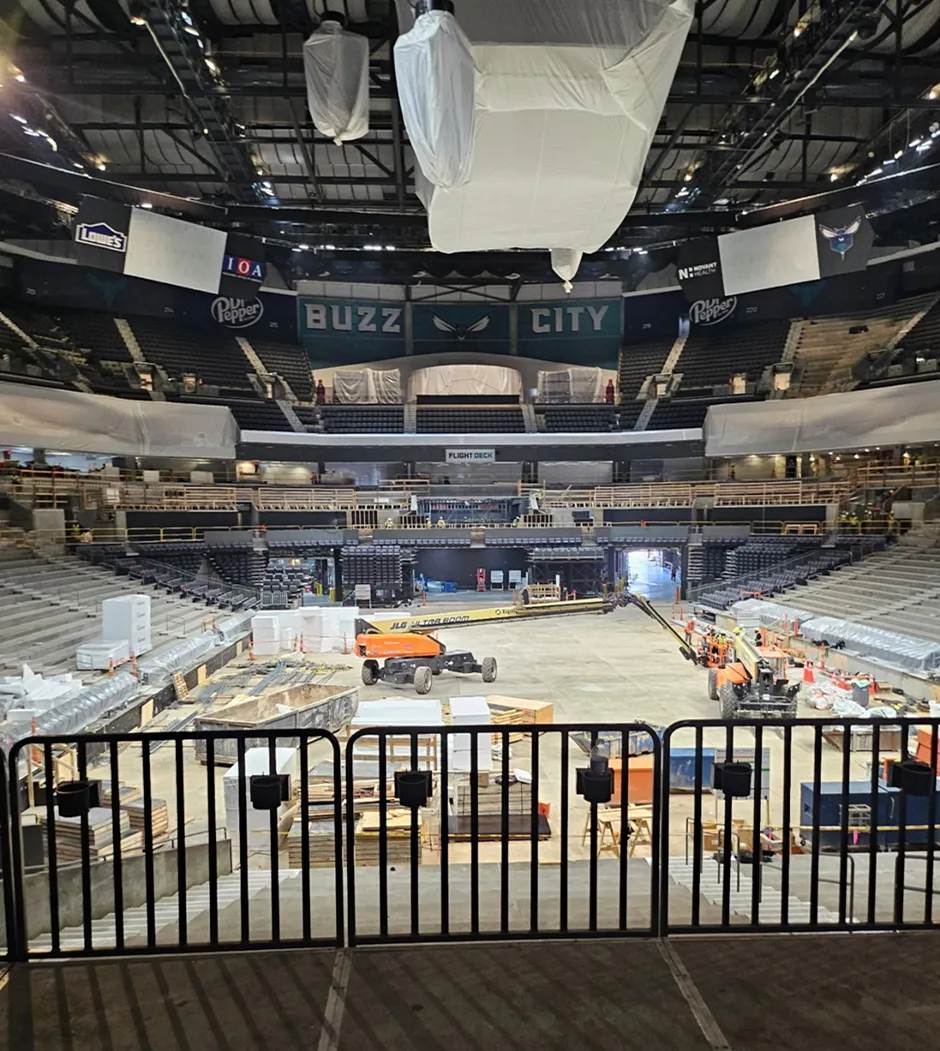
GPRS’ reality capture services helped ensure the safety and success of the installation of a large LED display at a professional basketball arena.
Daktronics tasked GPRS Project Manager Brian Nicholson with scanning an area of the concourse at the Spectrum Center, the home of the NBA’s Charlotte Hornets. Daktronics is a nationwide manufacturer of video displays and digital billboards. They were preparing to install a 220’ x 8’ curved LED screen in the arena’s concourse.
“They have this huge steel structure mounted to the ceiling and the columns,” Nicholson explained. “To install the new video board, they need to confirm that the steel structure meets the correct dimensions and that the curvature to it is correct.”
Without precise measurements of the structure, the client risked damaging the LED display and delaying the project – which would have cost them time and money.
Nicholson deployed the Leica RTC360 laser scanner to capture 2-4 mm accurate data of the area.

Along with the installation of the new LED display, the arena was undergoing many other offseason restoration projects. Scanning of the project area needed to happen around heavy foot traffic and could not disrupt these other operations.
“There was a lot of other stuff going on there and if there's vibrations, that'll throw off the laser scanner,” Nicholson explained. “So, anytime that I was setting up on a platform and they were also driving over a forklift or something like that, I'd have to rescan after they passed by, because their vibrations would mess up the scanning process.”
Nicholson’s training and experience helped him ensure that outside factors would not compromise any of the scans.
The scanning process took roughly an hour. Once Nicholson completed the scans, the point cloud data was sent off to GPRS’ in-house Mapping & Modeling Team.
Point cloud data refers to the data points collected by 3D laser scanners, like the Leica RTC360. Point clouds are also the foundation used by our Mapping & Modeling Team to create 2D CAD drawings and 3D BIM models.
%20(1).jpg)
With the point cloud data collected by Nicholson, the Mapping & Modeling Team created a 3D model of the steel structure.
Now that they have a highly accurate model of the area, Daktronics can assess with precision whether the structure meets the necessary requirements for the safe and efficient installation of the new LED display. They can also use that data for reference during any future renovations or O&M.
Even though Nicholson prefers football or hockey, he still felt excited about working at this arena for the day.
“I'm a huge football and hockey fan, but being in a sports arena is always cool,” Nicholson said. “I was right at the area where you look straight in and there's the court right there.”
From jumbotrons to skyscrapers, GPRS Visualizes the Built World® to help you Plan, Build, and Manage Better.
What can we help you visualize?
FREQUENTLY ASKED QUESTIONS
How do I know if 3D laser scanning is right for my project?
Almost any project that requires as-built information can benefit from a laser scanning survey. Talk with our experts and start your 3D laser scanning survey project today.
What deliverables can GPRS provide?
We can provide 3D modeling in many formats such as:
- Point Cloud Data (Raw Data)
- 2D CAD Drawings
- 3D Non-Intelligent Models
- 3D BIM Models
- JetStream Viewer
Customizable Deliverables Upon Request
- Aerial Photogrammetry
- Comparative Analysis
- Deformation Analysis
- Digital Drawings of GPR Markings
- Floor Flatness Analysis/Contour Mapping
- New Construction Accuracy Analysis/Comparative Analysis
- Point Cloud Modeling Training Webinars
- Reconciliation of Clients 2D Design Drawings
- Reconciliation of Clients 3D Design Model
- Structural Steel Shape Probability Analysis
- Template Modeling
- Volume Calculations
- Wall Plumb Analysis


.svg)